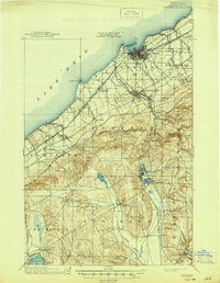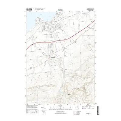
1954 Map of Dunkirk
USGS Topo · Published 1956About this map
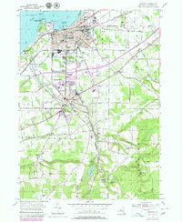
Dunkirk Harbor and the city of Dunkirk stand as a major industrial and transit hub along the Lake Erie shoreline in the mid-1950s. The landscape is defined by an intricate network of rail lines, including the Pennsylvania RR, Erie RR, and New York Central RR, which converge near the waterfront and the Dunkirk Municipal Airport. To the south, the State University Teachers College anchors the village of Fredonia, while the New York State Thruway is shown under construction, signaling a shift in regional transportation. Beyond the urban centers, the terrain rises into the hills of Pomfret and Arkwright, where Canadaway Creek carves through the landscape toward Shumla Falls and Arkwright Falls. Smaller settlements like Laona and Cordova are interconnected by early rural routes such as Straight Rd and Webster Road.
Find a feature on this map
78 named features on this map. Tap any name to fly to it.
Don’t see what you’re looking for? This feature index may not catch every label — zoom into the map to look around manually.
Map Details
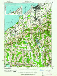
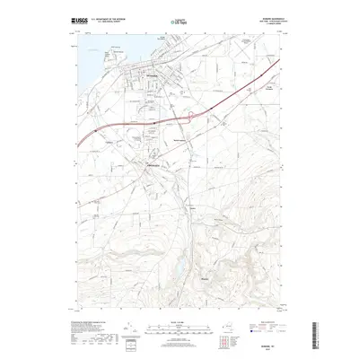
Editions of this 1954 Dunkirk Map
3 editions found
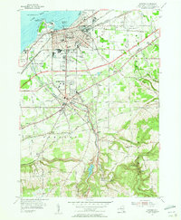
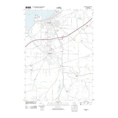
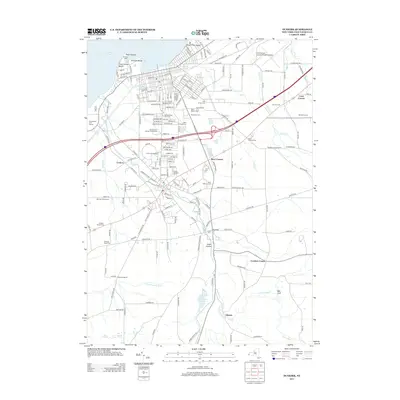
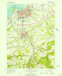
Historical Maps of Pomfret Through Time
8 maps found