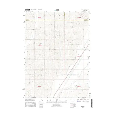
2015 Map of Dunlap SW
USGS Topo · Published 2015About this map
The Boyer River corridor dominates the southeastern quadrant of this Western Iowa landscape, cutting a wide valley through the loess hills at the meeting point of Monona, Crawford, and Harrison counties. The drainage pattern is well-defined by numerous tributaries including Willow Cr and Mud Cr, while Nelson Hollow marks a distinct relief in the northern terrain. This survey reflects a modern agricultural grid where section lines are traced by a network of local roads such as Spruce Ave and 340th St. For the local historian and genealogist, the map preserves the locations of rural burial grounds, including Cleveland Cem in the central township and Valley View Cem in the northeast corner. The land remains largely rural, divided into the traditional townships of T81N R42W and its neighbors, showing how the river valley and natural drainage continue to influence the placement of transportation routes and property boundaries.
Find a feature on this map
46 named features on this map. Tap any name to fly to it.
Don’t see what you’re looking for? This feature index may not catch every label — zoom into the map to look around manually.
Map Details
Editions of this 2015 Dunlap SW Map
This is the sole edition of this map. No revisions or reprints were ever made.
Other maps of this area

1954 · Omaha
USGS Topo · 1:250,000

1957 · Omaha
USGS Topo · 1:250,000

1958 · Omaha
USGS Topo · 1:250,000

1970 · Logan
USGS Topo · 1:24,000

1971 · Moorhead SE
USGS Topo · 1:24,000

1971 · Dunlap SW
USGS Topo · 1:24,000

1971 · Dunlap
USGS Topo · 1:24,000
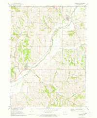
1971 · Moorhead
USGS Topo · 1:24,000
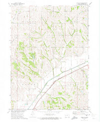
1971 · Dunlap NE
USGS Topo · 1:24,000
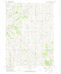
1971 · Dunlap NW
USGS Topo · 1:24,000