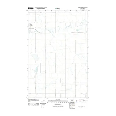
2011 Map of Dunn Center
USGS Topo · Published 2011About this map
Dunn Center serves as the primary focal point on this landscape in the western reaches of North Dakota. The area is defined by a sparse but organized grid of section roads, including 100th Ave SW and 4th St SW, which facilitate movement through a largely open prairie and ranching environment. The meandering path of Spring Creek cuts horizontally across the terrain, creating a complex series of oxbows and riparian curves that contrast with the rigid geometry of the surrounding township boundaries. To the south, the topography rises toward the prominent landmark of Clay Butte, while the marshy waters of Moffet Slough occupy the lower elevations. This 2011 survey illustrates the rural infrastructure of Dunn County, where the relationship between natural water drainage and human settlement patterns remains central to the character of the land.
Find a feature on this map
18 named features on this map. Tap any name to fly to it.
Don’t see what you’re looking for? This feature index may not catch every label — zoom into the map to look around manually.
Map Details
Editions of this 2011 Dunn Center Map
This is the sole edition of this map. No revisions or reprints were ever made.
Other maps of this area

1953 · Watford City
USGS Topo · 1:250,000

1957 · Watford City
USGS Topo · 1:250,000

1967 · Watford City
USGS Topo · 1:250,000

1970 · Dunn Center NW
USGS Topo · 1:24,000

1970 · Halliday NW
USGS Topo · 1:24,000

1970 · Dunn Center NE
USGS Topo · 1:24,000

1973 · Ziner Butte
USGS Topo · 1:24,000

1973 · Dunn Center
USGS Topo · 1:24,000

1973 · Emerson
USGS Topo · 1:24,000

1973 · Werner
USGS Topo · 1:24,000