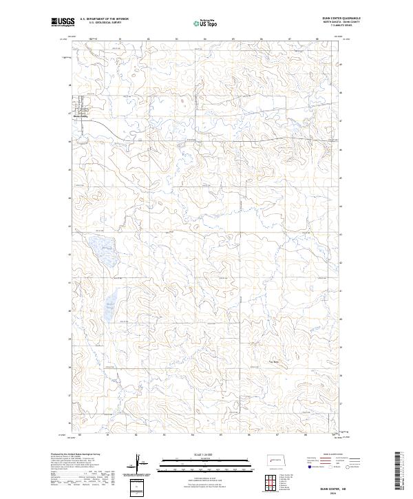
2024 Map of Dunn Center
USGS Topo · Published 2024About this map
Dunn Center serves as the primary settlement on this western North Dakota landscape, situated near the intersection of Central Ave N and several established section-line roads. The terrain is defined by the winding course of Spring Creek, which meanders eastward through the central portion of the quadrangle. This hydrology is complemented by a series of low-lying wetland features typical of the region, including Moffet Slough and Boe Slough in the southwest.
Find a feature on this map
26 named features on this map. Tap any name to fly to it.
Don’t see what you’re looking for? This feature index may not catch every label — zoom into the map to look around manually.
Map Details
Editions of this 2024 Dunn Center Map
This is the sole edition of this map. No revisions or reprints were ever made.
Other maps of this area

1953 · Watford City
USGS Topo · 1:250,000

1957 · Watford City
USGS Topo · 1:250,000

1967 · Watford City
USGS Topo · 1:250,000

1970 · Dunn Center NW
USGS Topo · 1:24,000

1970 · Halliday NW
USGS Topo · 1:24,000

1970 · Dunn Center NE
USGS Topo · 1:24,000

1973 · Ziner Butte
USGS Topo · 1:24,000

1973 · Dunn Center
USGS Topo · 1:24,000

1973 · Emerson
USGS Topo · 1:24,000

1973 · Werner
USGS Topo · 1:24,000