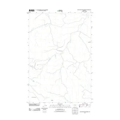
2011 Map of Dunn Mountain North
USGS Topo · Published 2011About this map
The Bull Mountains dominate this high-plains landscape in Yellowstone County, where drainage networks like Fattig Creek and East Parrot Creek carve through the elevated terrain. This 2011 survey documents a sparsely populated but geographically distinct region of Montana, defined by named peaks such as Dunn Mountain and Johnston Mountain. The map reveals a remote infrastructure of named local roads and lanes, including Fattig Creek Rd and Bruner Mountain Rd, which provide access to isolated springs and coulees. Water resources are critical in this environment, evidenced by the cataloging of Busse Water and specific springs like 06N27E22ABB_01 Spring. The presence of Railroad Creek and Dutch Oven Creek further underscores the historical naming conventions of the area, reflecting the intersection of natural geography and early 21st-century rural land use.
Find a feature on this map
23 named features on this map. Tap any name to fly to it.
Don’t see what you’re looking for? This feature index may not catch every label — zoom into the map to look around manually.
Map Details
Editions of this 2011 Dunn Mountain North Map
This is the sole edition of this map. No revisions or reprints were ever made.
Other maps of this area

1954 · Roundup
USGS Topo · 1:250,000

1958 · Roundup
USGS Topo · 1:250,000

1979 · Roundup
USGS Topo · 1:100,000

1979 · Gage NE
USGS Topo · 1:24,000

1979 · Chimney Butte
USGS Topo · 1:24,000

1979 · Gage
USGS Topo · 1:24,000

1980 · Cherry Spring
USGS Topo · 1:24,000

1980 · Dunn Mountain South
USGS Topo · 1:24,000

1980 · Dunn Mountain North
USGS Topo · 1:24,000

1980 · Signal Mountain
USGS Topo · 1:24,000