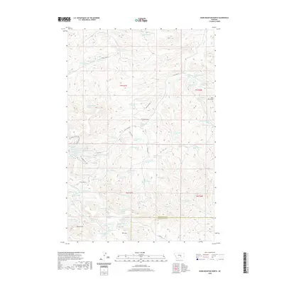
2020 Map of Dunn Mountain North
USGS Topo · Published 2020About this map
The high divide of the Bull Mountains dominates the northern reaches of this Montana landscape, where the Musselshell Co Yellowstone Co line follows the height of the land. Water drainage defines the topography here, with Fattig Cr and E Parrot Cr cutting deep coulees into the timbered slopes. To the south, prominent elevations such as Johnston Mtn and Dunn Mtn rise above the headwaters of Railroad Cr and Dutch Oven Cr. This terrain is accessed by a network of local tracks including Fattig Creek Rd and Hidden Springs Rd, which follow the natural contours of the drainage basins. The map illustrates a contemporary pattern of land use where large-scale ranching and natural resource management utilize the varied elevations of the t7n r27e and t6n r27e townships.
Find a feature on this map
27 named features on this map. Tap any name to fly to it.
Don’t see what you’re looking for? This feature index may not catch every label — zoom into the map to look around manually.
Map Details
Editions of this 2020 Dunn Mountain North Map
This is the sole edition of this map. No revisions or reprints were ever made.
Other maps of this area

1954 · Roundup
USGS Topo · 1:250,000

1958 · Roundup
USGS Topo · 1:250,000

1979 · Roundup
USGS Topo · 1:100,000

1979 · Gage NE
USGS Topo · 1:24,000

1979 · Chimney Butte
USGS Topo · 1:24,000

1979 · Gage
USGS Topo · 1:24,000

1980 · Cherry Spring
USGS Topo · 1:24,000

1980 · Dunn Mountain South
USGS Topo · 1:24,000

1980 · Dunn Mountain North
USGS Topo · 1:24,000

1980 · Signal Mountain
USGS Topo · 1:24,000