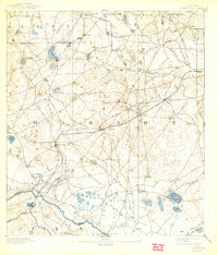
1894 Map of Dunnellon
USGS Topo · Published 1943About this map
Dunnellon serves as the focal point of this 1890s survey, marking a period of intense industrial expansion in the Florida phosphate belt. The landscape is dotted with early extraction sites such as the Standard Mine, Chicago Mine, and the Phosphate Mines along the banks of the Withlacoochee River. This era was defined by the intersection of river transport and emerging rail lines, including the Silver Springs and Ocala R. R. and the Florida Central and Peninsular R. R., which facilitated the movement of minerals out of the region.
Find a feature on this map
49 named features on this map. Tap any name to fly to it.
Don’t see what you’re looking for? This feature index may not catch every label — zoom into the map to look around manually.
Map Details
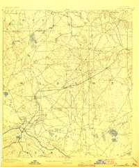
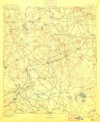
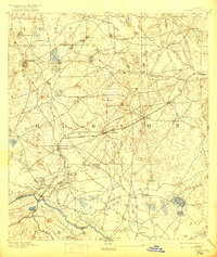
Editions of this 1894 Dunnellon Map
5 editions found
Other maps of this area

1892 · Dunnellon
USGS Topo · 1:62,500

1893 · Panasoffkee
USGS Topo · 1:62,500

1893 · Citra
USGS Topo · 1:62,500

1894 · Dunnellon
USGS Topo · 1:62,500

1895 · Williston
USGS Topo · 1:62,500

1895 · Tsala Apopka
USGS Topo · 1:62,500

1895 · Citra
USGS Topo · 1:62,500

1895 · Panasoffkee
USGS Topo · 1:62,500

1895 · Ocala
USGS Topo · 1:62,500

1954 · Holder
USGS Topo · 1:24,000