
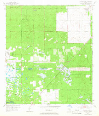
1954 Map of Dunnellon SE
USGS Topo · Published 1955About this map
The Proposed Gulf Atlantic Ship Canal (Abandoned) cuts a striking linear path across this Marion County landscape, serving as a prominent reminder of a major infrastructure project that never reached completion. This mid-century survey captures the terrain just as the Cross Florida Barge Canal efforts were stalling, leaving behind the distinct archaeological footprint of the excavated channel.
Find a feature on this map
13 named features on this map. Tap any name to fly to it.
Don’t see what you’re looking for? This feature index may not catch every label — zoom into the map to look around manually.
Map Details
Editions of this 1954 Dunnellon SE Map
2 editions found
Other maps of this area

1892 · Dunnellon
USGS Topo · 1:62,500

1893 · Panasoffkee
USGS Topo · 1:62,500

1894 · Dunnellon
USGS Topo · 1:62,500

1895 · Tsala Apopka
USGS Topo · 1:62,500

1895 · Panasoffkee
USGS Topo · 1:62,500

1895 · Ocala
USGS Topo · 1:62,500

1954 · Holder
USGS Topo · 1:24,000

1954 · Romeo
USGS Topo · 1:24,000

1954 · Tsala Apopka NE
USGS Topo · 1:24,000

1954 · Dunnellon
USGS Topo · 1:24,000