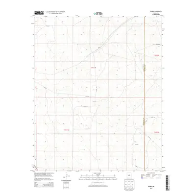
2013 Map of Duoro
USGS Topo · Published 2013About this map
Duoro serves as the central point of this high plains landscape, situated along a vital rail corridor in eastern New Mexico. The presence of Duoro Siding suggests the area's historical reliance on the railroad for transportation and logistics in an otherwise sparsely populated ranching territory. The map details the transition between Guadalupe Co and De Baca Co, where the land is primarily organized into large holdings such as Byrd Ranch and Hunt Ranch.
Find a feature on this map
18 named features on this map. Tap any name to fly to it.
Don’t see what you’re looking for? This feature index may not catch every label — zoom into the map to look around manually.
Map Details
Editions of this 2013 Duoro Map
This is the sole edition of this map. No revisions or reprints were ever made.
Other maps of this area

1954 · Fort Sumner
USGS Topo · 1:250,000

1958 · Fort Sumner
USGS Topo · 1:250,000

1978 · El Morro Ranch SE
USGS Topo · 1:24,000

1978 · El Morro Ranch
USGS Topo · 1:24,000

1978 · Long Draw
USGS Topo · 1:24,000

1979 · Fort Sumner
USGS Topo · 1:100,000

1980 · Corona
USGS Topo · 1:100,000

1981 · Loco Draw
USGS Topo · 1:24,000

1981 · Gacho Hill SE
USGS Topo · 1:24,000

1981 · Yeso Mesa
USGS Topo · 1:24,000