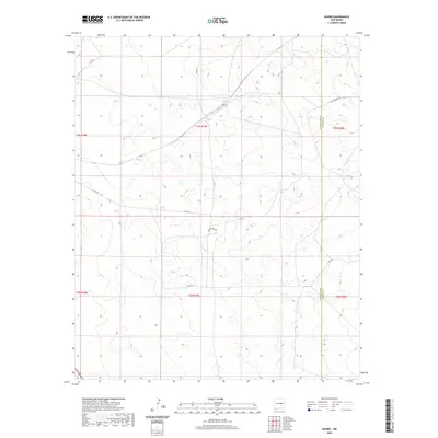
2020 Map of Duoro
USGS Topo · Published 2020About this map
Duoro is a localized point of interest within a high-plains landscape defined by the convergence of ranch roads and heavy freight infrastructure. The BNSF Railway cuts diagonally across the northern half of the region, serving as a primary corridor through this part of Guadalupe and De Baca counties. The terrain is marked by subtle shifts in elevation, traced by a network of rural routes such as Co Rd 3i, Co Rd 3h, and Agua Buena Rd. This map captures a transition between township and range boundaries where the open rangeland is sparsely interrupted by human activity, primarily concentrated near the rail line and the occasional livestock road like Roadrunner Rd and Loop Rd.
Find a feature on this map
15 named features on this map. Tap any name to fly to it.
Don’t see what you’re looking for? This feature index may not catch every label — zoom into the map to look around manually.
Map Details
Editions of this 2020 Duoro Map
This is the sole edition of this map. No revisions or reprints were ever made.
Other maps of this area

1954 · Fort Sumner
USGS Topo · 1:250,000

1958 · Fort Sumner
USGS Topo · 1:250,000

1978 · El Morro Ranch SE
USGS Topo · 1:24,000

1978 · El Morro Ranch
USGS Topo · 1:24,000

1978 · Long Draw
USGS Topo · 1:24,000

1979 · Fort Sumner
USGS Topo · 1:100,000

1980 · Corona
USGS Topo · 1:100,000

1981 · Loco Draw
USGS Topo · 1:24,000

1981 · Gacho Hill SE
USGS Topo · 1:24,000

1981 · Yeso Mesa
USGS Topo · 1:24,000