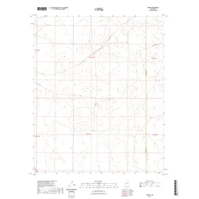
2023 Map of Duoro
USGS Topo · Published 2023About this map
Arid grazing lands and high desert plateaus define this portion of the New Mexico landscape, where the boundary between Guadalupe and De Baca Counties runs north to south through a sparsely populated expanse. The terrain is marked by a network of county roads and local connectors that link isolated homesteads and ranching outposts across the townships of t3n r19e and t2n r19e. Notable thoroughfares like Agua Buena Rd and Roadrunner Rd navigate the undulating topography, following natural draws and ridges that characterize this part of the Llano Estacado region. The map reflects a modern inventory of the area's limited infrastructure, including the small loops and spurs such as Loop Rd that provide access to the interior of these large rural tracts.
Find a feature on this map
13 named features on this map. Tap any name to fly to it.
Don’t see what you’re looking for? This feature index may not catch every label — zoom into the map to look around manually.
Map Details
Editions of this 2023 Duoro Map
This is the sole edition of this map. No revisions or reprints were ever made.
Other maps of this area

1954 · Fort Sumner
USGS Topo · 1:250,000

1958 · Fort Sumner
USGS Topo · 1:250,000

1978 · El Morro Ranch SE
USGS Topo · 1:24,000

1978 · El Morro Ranch
USGS Topo · 1:24,000

1978 · Long Draw
USGS Topo · 1:24,000

1979 · Fort Sumner
USGS Topo · 1:100,000

1980 · Corona
USGS Topo · 1:100,000

1981 · Loco Draw
USGS Topo · 1:24,000

1981 · Gacho Hill SE
USGS Topo · 1:24,000

1981 · Yeso Mesa
USGS Topo · 1:24,000