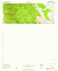
1958 Map of Duquesne
USGS Topo · Published 1959About this map
The mining camp of Duquesne sits high in the Patagonia Mountains of Santa Cruz County, just north of the United States-Mexico border. This late-1950s survey reveals an intense concentration of mineral extraction sites across the Coronado National Forest, including the Santo Niño Mine, Texas Mine, and Bonanza Mine. The industrial landscape is marked by a network of shafts, tunnels, and a jeep trail that navigate the high elevations near Mt Washington.
Find a feature on this map
36 named features on this map. Tap any name to fly to it.
Don’t see what you’re looking for? This feature index may not catch every label — zoom into the map to look around manually.
Map Details
Editions of this 1958 Duquesne Map
4 editions found
Other maps of this area

1905 · Nogales
USGS Topo · 1:125,000

1932 · Lochiel
USGS Topo · 1:62,500

1933 · Calabasas
USGS Topo · 1:62,500

1948 · Canelo Pass
USGS Topo · 1:24,000
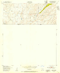
1948 · Lochiel SE
USGS Topo · 1:24,000

1948 · Harshaw
USGS Topo · 1:24,000
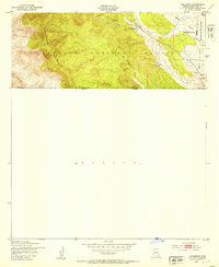
1948 · Duquesne
USGS Topo · 1:24,000
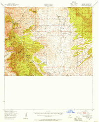
1948 · Lochiel
USGS Topo · 1:62,500

1956 · Nogales
USGS Topo · 1:250,000

1958 · Nogales
USGS Topo · 1:250,000