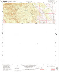
1958 Map of Duquesne
USGS Topo · Published 1991About this map
Patagonia Mountains dominate the western half of this borderland survey, where a high-density mining district clusters around the settlement of Duquesne. This 1958 revision shows an intricate network of extraction points concentrated near the head of Washington Gulch, including the Duquesne Mine, Texas Mine, and Bonanza Mine. The transition from the steep peaks of Mt Washington to the open floor of the San Rafael Valley to the east is marked by family holdings like the Heady-Ashburn Ranch and Trask Ranch. Near the international boundary with Sonora, the landscape holds cultural markers such as a Cemetery, an individual Grave, and the Fray Marcos De Niza Historical Monument. The infrastructure of the era is evident in the numerous Well and Reservoir points scattered throughout the Coronado National Forest, supporting both the mining industry and ranching operations.
Find a feature on this map
36 named features on this map. Tap any name to fly to it.
Don’t see what you’re looking for? This feature index may not catch every label — zoom into the map to look around manually.
Map Details
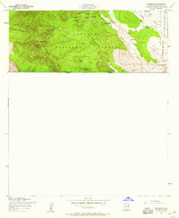
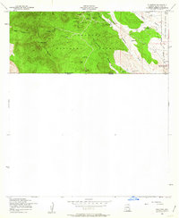
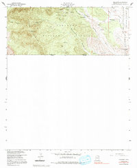
Editions of this 1958 Duquesne Map
4 editions found
Other maps of this area

1905 · Nogales
USGS Topo · 1:125,000

1932 · Lochiel
USGS Topo · 1:62,500

1933 · Calabasas
USGS Topo · 1:62,500

1948 · Canelo Pass
USGS Topo · 1:24,000
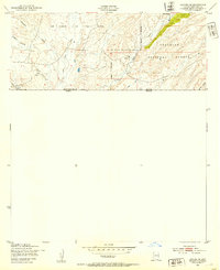
1948 · Lochiel SE
USGS Topo · 1:24,000

1948 · Harshaw
USGS Topo · 1:24,000
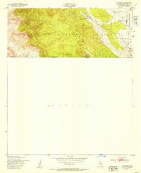
1948 · Duquesne
USGS Topo · 1:24,000
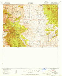
1948 · Lochiel
USGS Topo · 1:62,500

1956 · Nogales
USGS Topo · 1:250,000

1958 · Nogales
USGS Topo · 1:250,000