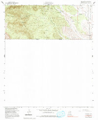
1958 Map of Duquesne
USGS Topo · Published 1991About this map
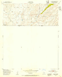
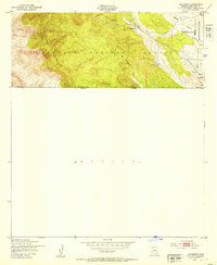
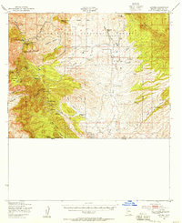
Mining operations dominate the slopes of the Patagonia Mountains on this borderlands survey, where the settlement of Duquesne serves as a central hub for extraction. The landscape is dense with industrial activity, including the Santa Nina Mine, Bonanza Mine, and Empire Mine, which are situated among steep drainages like Washington Gulch and San Antonio Canyon. Near the international boundary with Mexico, the terrain shifts toward the open San Rafael Valley, where cattle ranching is evidenced by the Heady-Ashburn Ranch and Trask Ranch. Historical commemoration is found at the Fray Marcos De Niza Historical Monument near the southern edge. This topography reflects a late-1950s Arizona economy defined by hard-rock mining and large-scale ranching, with numerous shafts and tunnels such as the Paradise Canyon Mine and Line Boy Mine marking the subsurface search for minerals along the Arizona-Sonora line.
Find a feature on this map
37 named features on this map. Tap any name to fly to it.
Don’t see what you’re looking for? This feature index may not catch every label — zoom into the map to look around manually.
Map Details
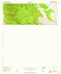
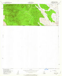
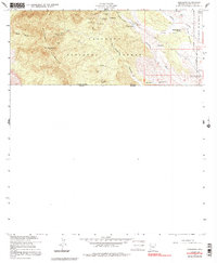
Editions of this 1958 Duquesne Map
4 editions found
Other maps of this area

1905 · Nogales
USGS Topo · 1:125,000

1932 · Lochiel
USGS Topo · 1:62,500

1933 · Calabasas
USGS Topo · 1:62,500

1948 · Canelo Pass
USGS Topo · 1:24,000
1948 · Lochiel SE
USGS Topo · 1:24,000

1948 · Harshaw
USGS Topo · 1:24,000
1948 · Duquesne
USGS Topo · 1:24,000
1948 · Lochiel
USGS Topo · 1:62,500

1956 · Nogales
USGS Topo · 1:250,000

1958 · Nogales
USGS Topo · 1:250,000