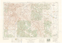
1963 Map of Durango
USGS Topo · Published 1963About this map
The San Juan Mountains dominate this 1950s era survey, where the Continental Divide weaves through high peaks and national forests. High-altitude mining history is etched across the landscape at the Summitville Mine and Asiatic Mine, while the Denver & Rio Grande Western RR provides a critical transportation backbone connecting mountain settlements like Silverton and Telluride to the valley floor. To the south, the Southern Ute Indian Reservation and Jicarilla Apache Indian Reservation cover significant territory near the border of Colorado and New Mexico.
Find a feature on this map
255 named features on this map. Tap any name to fly to it.
Don’t see what you’re looking for? This feature index may not catch every label — zoom into the map to look around manually.
Map Details
Editions of this 1963 Durango Map
This is the sole edition of this map. No revisions or reprints were ever made.
Other maps of this area
1889 · Largo
USGS Topo · 1:250,000
1889 · Chaco
USGS Topo · 1:250,000
1892 · Chaco
USGS Topo · 1:250,000
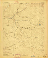
1895 · Largo
USGS Topo · 1:250,000
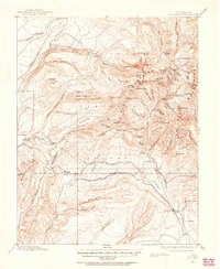
1895 · La Plata
USGS Topo · 1:62,500
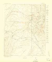
1897 · La Plata
USGS Topo · 1:62,500
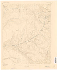
1897 · Rico
USGS Topo · 1:62,500
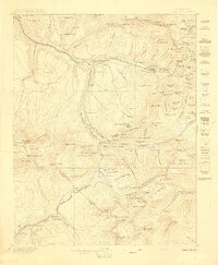
1897 · Telluride
USGS Topo · 1:62,500
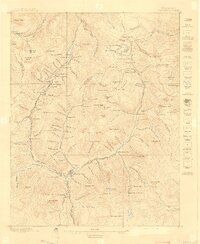
1897 · Silverton
USGS Topo · 1:62,500
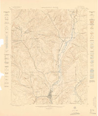
1898 · Durango
USGS Topo · 1:62,500