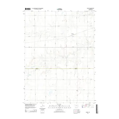
2014 Map of Durant
USGS Topo · Published 2014About this map
Durant stands as the primary namesake settlement in this section of Nebraska, situated along a prominent rail line that cuts diagonally through the northern landscape. This 2014 survey reveals a highly organized agricultural grid, where the boundaries between Polk Co and York Co follow a precise east-west alignment. The terrain is defined by the drainage patterns of Prairie Cr to the north and the meandering Big Blue River further south, creating subtle variations in the otherwise flat prairie. Local history is anchored by the Pleasant Hill Cem in the southeastern quadrant and the Bjerrum Reservoir to the west, reflecting a landscape shaped by both settlement needs and modern water management. The extensive network of county roads, such as Co Road 24 and 123rd Rd, highlights the enduring importance of this rural infrastructure for the surrounding farming community.
Find a feature on this map
28 named features on this map. Tap any name to fly to it.
Don’t see what you’re looking for? This feature index may not catch every label — zoom into the map to look around manually.
Map Details
Editions of this 2014 Durant Map
This is the sole edition of this map. No revisions or reprints were ever made.
Other maps of this area

1896 · Stromsburg
USGS Topo · 1:125,000

1898 · York
USGS Topo · 1:125,000

1899 · York
USGS Topo · 1:125,000

1955 · Fremont
USGS Topo · 1:250,000

1955 · Lincoln
USGS Topo · 1:250,000

1957 · Fremont
USGS Topo · 1:250,000

1957 · Lincoln
USGS Topo · 1:250,000

1958 · Fremont
USGS Topo · 1:250,000

1958 · Lincoln
USGS Topo · 1:250,000

1962 · Polk
USGS Topo · 1:24,000