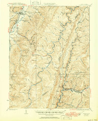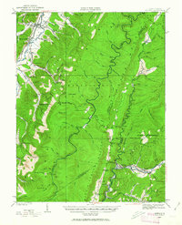
1922 Map of Durbin
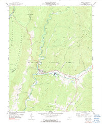
USGS Topo · Published 1963About this map
The Parkersburg and Staunton Pike cuts across the highland gap at Cheat Bridge, providing a critical transit artery through the high ridges of the Monongahela National Forest. In the early 1920s, this landscape was defined by the intersection of industrial rail and high-altitude settlements. The Western Maryland RR and Chesapeake and Ohio RR connect the mountain timber and coal towns of Durbin, Wildell, and Frank, while rural life is anchored by a dense network of mountain schools like Shavers Run School and the Grassy Ridge School. The presence of the Burner Settlement and the dual-named Nottingham PO Boyer Sta reflects the era's reliance on railroad stations and post offices as the primary nodes of local geography. To the west, the valley widens near Huttonsville, where the Tygart Valley River provides a contrast to the steep drainage of Shavers Fork and the West Fork Greenbrier River.
Find a feature on this map
94 named features on this map. Tap any name to fly to it.
Don’t see what you’re looking for? This feature index may not catch every label — zoom into the map to look around manually.
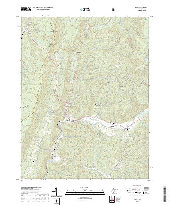
Map Details
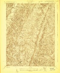
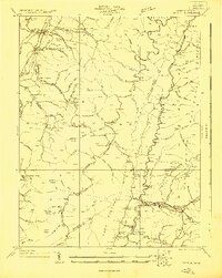
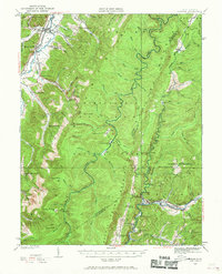
Editions of this 1922 Durbin Map
4 editions found
Historical Maps of Mill Creek Through Time
5 maps found