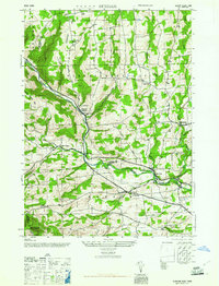
1946 Map of Durham
USGS Topo · Published 1946About this map
Catskill Creek carves a deep valley through the high country where Greene and Albany counties meet, anchoring a network of small upland settlements during the mid-1940s. The landscape is defined by the convergence of steep terrain like Mt Pisgah and Scott Patent Hill with a dense system of rural schoolhouses and family burial grounds. Significant hamlets such as Preston Hollow, Potter Hollow, and Oak Hill are depicted with their historical building footprints, reflecting a period when localized education and commerce were centered around sites like Central Sch and the Cheese Hill School. The map captures the intricate drainage patterns of Cheese Hill Creek and Fox Creek, alongside long-established cemeteries including Brookside Cem and Pratt Cem, providing an essential record of the Catskill foothills before later 20th-century shifts in rural population and land use.
Find a feature on this map
31 named features on this map. Tap any name to fly to it.
Don’t see what you’re looking for? This feature index may not catch every label — zoom into the map to look around manually.
Map Details
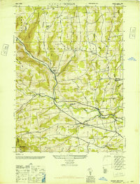
Editions of this 1946 Durham Map
2 editions found
Other maps of this area

1893 · Durham
USGS Topo · 1:62,500

1894 · Durham
USGS Topo · 1:62,500

1898 · Schoharie
USGS Topo · 1:62,500

1900 · Schoharie
USGS Topo · 1:62,500

1900 · Berne
USGS Topo · 1:62,500

1901 · Gilboa
USGS Topo · 1:62,500

1903 · Gilboa
USGS Topo · 1:62,500

1903 · Berne
USGS Topo · 1:62,500
1943 · Westerlo
USGS Topo · 1:24,000
1943 · Freehold
USGS Topo · 1:24,000