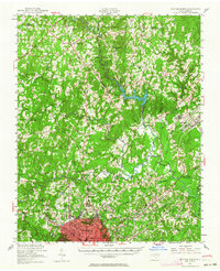
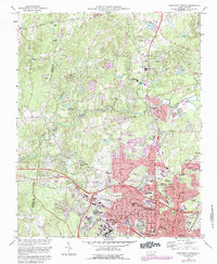
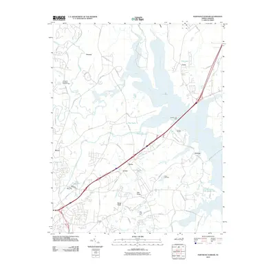
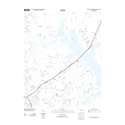
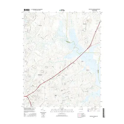
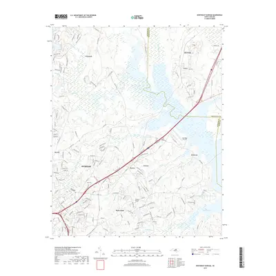
1951 Map of Durham North
USGS Topo · Published 1964About this map
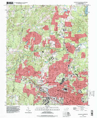
Durham and its northern outskirts are captured here during a period of significant post-war development and institutional expansion. The map details the expansive grounds of Duke University and the Duke Forest to the southwest, while the northern landscape is dominated by the State College Forest and the Lake Michie reservoir on the Flat River. This 1951 revision shows a region defined by its diverse institutional presence, including the State Hospital near Butner and the State Prison further north.
Find a feature on this map
63 named features on this map. Tap any name to fly to it.
Don’t see what you’re looking for? This feature index may not catch every label — zoom into the map to look around manually.
Map Details
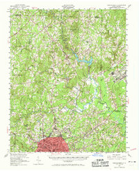
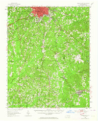
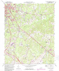
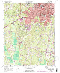
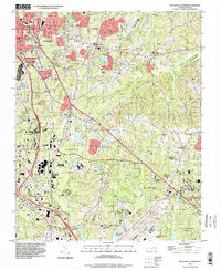
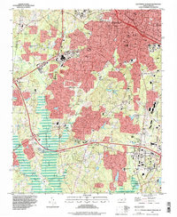
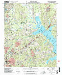
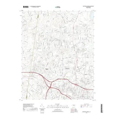
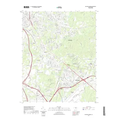
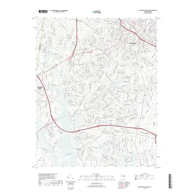
Editions of this 1951 Durham North Map

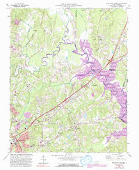
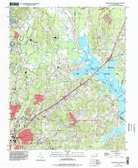
Historical Maps of Durham Through Time
32 maps found

1943 Durham South
Durham County, NC
1951 Durham North
Durham County, NC
1951 Durham South
Durham County, NC
1973 Northeast Durham
Durham County, NC
1973 Northwest Durham
Durham County, NC
1973 Southeast Durham
Durham County, NC
1973 Southwest Durham
Durham County, NC
1993 Northeast Durham
Durham County, NC
1993 Northwest Durham
Durham County, NC
1993 Southeast Durham
Durham County, NC
1993 Southwest Durham
Durham County, NC
1999 Northeast Durham
Durham County, NC
2010 Northeast Durham
Durham County, NC
2010 Northwest Durham
Durham County, NC
2010 Southeast Durham
Durham County, NC
2010 Southwest Durham
Durham County, NC
2013 Northeast Durham
Durham County, NC
2013 Northwest Durham
Durham County, NC
2013 Southeast Durham
Durham County, NC
2013 Southwest Durham
Durham County, NC
2016 Northeast Durham
Durham County, NC
2016 Northwest Durham
Durham County, NC
2016 Southeast Durham
Durham County, NC
2016 Southwest Durham
Durham County, NC
2019 Northeast Durham
Durham County, NC
2019 Northwest Durham
Durham County, NC
2019 Southeast Durham
Durham County, NC
2019 Southwest Durham
Durham County, NC
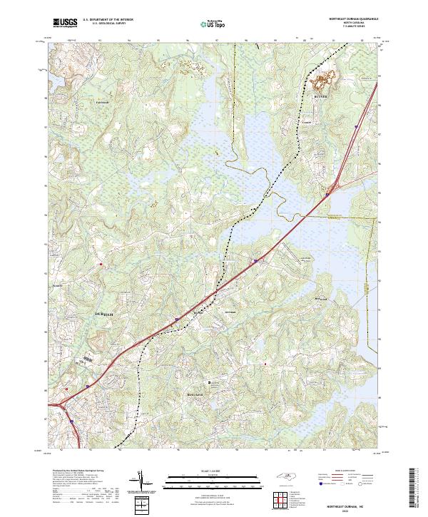
2022 Northeast Durham
Durham County, NC
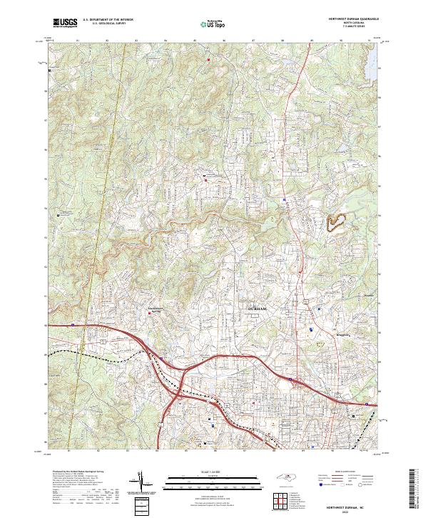
2022 Northwest Durham
Durham County, NC
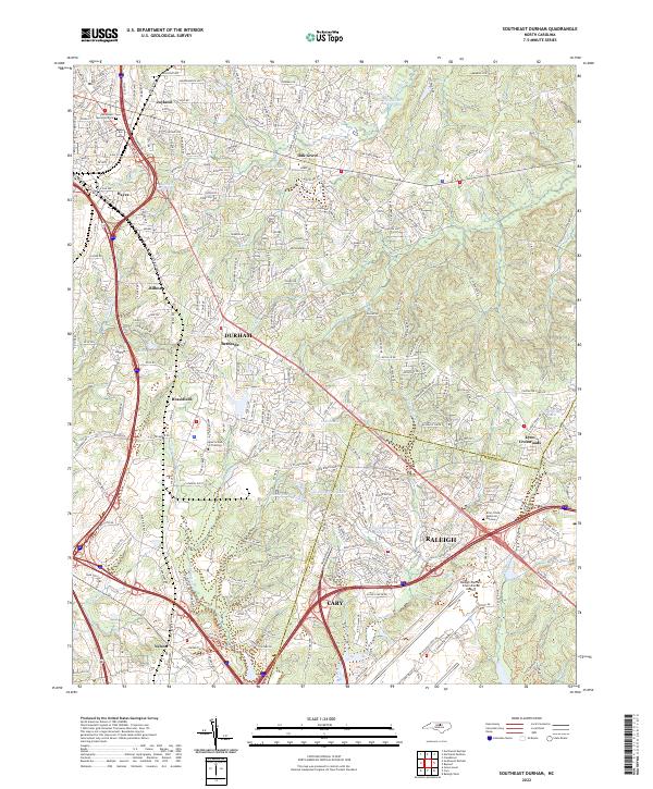
2022 Southeast Durham
Durham County, NC
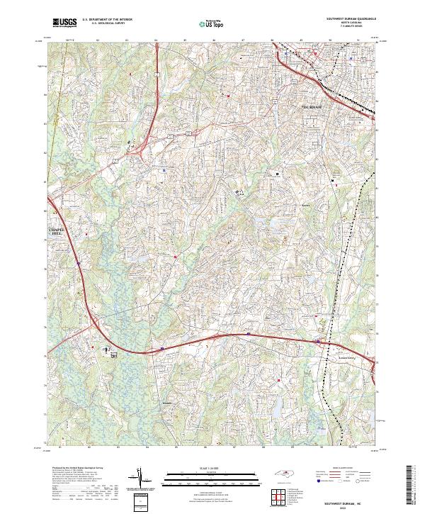
2022 Southwest Durham
Durham County, NC