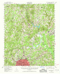
1951 Map of Durham North
USGS Topo · Published 1969About this map
The northern reaches of Durham and the surrounding Piedmont landscape are captured here following a 1951 revision. This area is defined by the convergence of the Flat River, Little River, and Eno to form the Neuse River. The map documents the northern expansion of the city into Braggtown and highlights major institutional footprints like the sprawling grounds of Duke University and the State College Forest.
Find a feature on this map
83 named features on this map. Tap any name to fly to it.
Don’t see what you’re looking for? This feature index may not catch every label — zoom into the map to look around manually.
Map Details
Editions of this 1951 Durham North Map
Other maps of this area

1943 · Durham South
USGS Topo · 1:62,500

1943 · Raleigh
USGS Topo · 1:62,500

1943 · Roxboro
USGS Topo · 1:62,500

1943 · Creedmoor
USGS Topo · 1:62,500

1944 · Creedmoor
USGS Topo · 1:62,500

1946 · Chapel Hill
USGS Topo · 1:24,000

1947 · Chapel Hill
USGS Topo · 1:31,680

1951 · Raleigh
USGS Topo · 1:62,500

1951 · Durham South
USGS Topo · 1:62,500

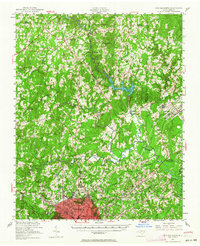
1951 · Durham North
USGS Topo · 1:62,500