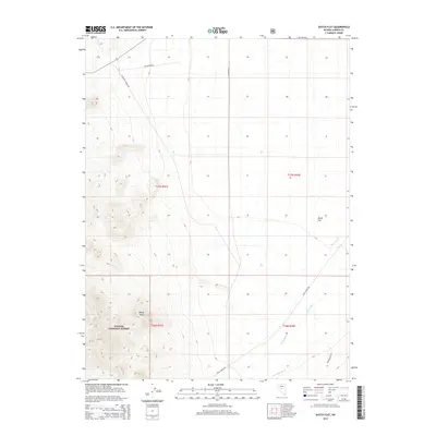
2014 Map of Dutch Flat
USGS Topo · Published 2014About this map
Toiyabe National Forest dominates the southwestern portion of this Lander County landscape, where the high terrain of Rocky Bluff overlooks the valley floor. The desert terrain is defined by the ephemeral path of the Reese River, which flows through the eastern half of the quadrangle. This 2014 survey reveals an agricultural and ranching infrastructure maintained through water management features like the Fred Ahles Ditch. The network of local routes, including Lee Renfro Rd and University Farms Rd, connects the open expanse of Dutch Flat to the surrounding foothills. The map provides a clear view of the Public Land Survey System grid, demarcating townships such as T17N R41E and T16N R42E in this arid Nevada interior.
Find a feature on this map
13 named features on this map. Tap any name to fly to it.
Don’t see what you’re looking for? This feature index may not catch every label — zoom into the map to look around manually.
Map Details
Editions of this 2014 Dutch Flat Map
This is the sole edition of this map. No revisions or reprints were ever made.
Other maps of this area

1955 · Millett
USGS Topo · 1:250,000

1956 · North Shoshone Peak
USGS Topo · 1:62,500

1956 · Millett Ranch
USGS Topo · 1:62,500

1956 · Austin
USGS Topo · 1:62,500

1959 · Millett
USGS Topo · 1:250,000

1969 · Gandolfo Canyon
USGS Topo · 1:24,000

1969 · Emigrant Peak
USGS Topo · 1:24,000

1969 · Dutch Flat
USGS Topo · 1:24,000

1969 · Iron Mountain
USGS Topo · 1:24,000

1985 · Smith Creek Valley
USGS Topo · 1:100,000