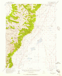
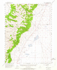
1956 Map of Millett Ranch
USGS Topo · Published 1957About this map
Smoky Valley dominates the eastern half of this mid-century landscape, where a series of ranches sit at the base of the mountain front. The high peaks of the Tolyabe Range rise sharply to the west, protected within the Toiyabe National Forest. This era of land use is defined by a transition from industrial activity to ranching and recreation, evidenced by the presence of an Abandoned Mill and numerous Prospect markers alongside established family holdings like Millett Ranch and Schmidtlein Ranch.
Find a feature on this map
50 named features on this map. Tap any name to fly to it.
Don’t see what you’re looking for? This feature index may not catch every label — zoom into the map to look around manually.
Map Details
Editions of this 1956 Millett Ranch Map
2 editions found
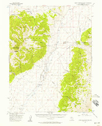
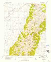
Other maps of this area

1907 · Tonopah
USGS Topo · 1:250,000

1908 · Tonopah
USGS Topo · 1:250,000

1926 · Roberts Mountains
USGS Topo · 1:250,000

1929 · Roberts Mountains
USGS Topo · 1:250,000

1955 · Millett
USGS Topo · 1:250,000
1956 · North Shoshone Peak
USGS Topo · 1:62,500
1956 · Austin
USGS Topo · 1:62,500

1956 · Tonopah
USGS Topo · 1:250,000

1959 · Tonopah
USGS Topo · 1:250,000

1959 · Millett
USGS Topo · 1:250,000