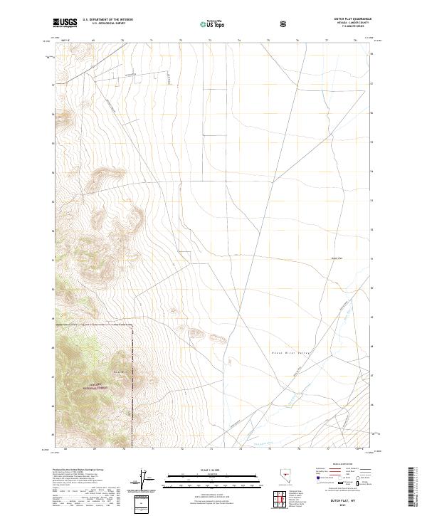
2021 Map of Dutch Flat
USGS Topo · Published 2021About this map
Reese River Valley dominates this landscape in Lander County, showing the intricate relationship between water management and ranching in the Great Basin. The map details a network of rural routes such as Lee Renfro Rd and Reese River Rd that connect isolated properties like the Lenox Ranch and University Farms Rd. This area reflects the modern agricultural footprint of central Nevada, where irrigation features like the Fred Ahles Ditch support the lowlands near the settlement of Dutch Flat. To the southwest, the terrain shifts dramatically as the valley floor rises toward Rocky Bluff, marking the boundary of the Toiyabe National Forest. The map provides a clear picture of the vast cadastral divisions and modern land use patterns along the Reese River corridor.
Find a feature on this map
15 named features on this map. Tap any name to fly to it.
Don’t see what you’re looking for? This feature index may not catch every label — zoom into the map to look around manually.
Map Details
Editions of this 2021 Dutch Flat Map
This is the sole edition of this map. No revisions or reprints were ever made.
Other maps of this area

1955 · Millett
USGS Topo · 1:250,000

1956 · North Shoshone Peak
USGS Topo · 1:62,500

1956 · Millett Ranch
USGS Topo · 1:62,500

1956 · Austin
USGS Topo · 1:62,500

1959 · Millett
USGS Topo · 1:250,000

1969 · Gandolfo Canyon
USGS Topo · 1:24,000

1969 · Emigrant Peak
USGS Topo · 1:24,000

1969 · Dutch Flat
USGS Topo · 1:24,000

1969 · Iron Mountain
USGS Topo · 1:24,000

1985 · Smith Creek Valley
USGS Topo · 1:100,000