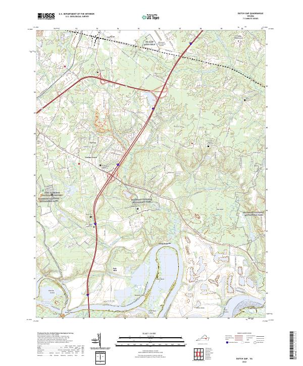
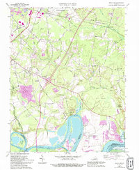
2022 Map of Dutch Gap
USGS Topo · Published 2022About this map
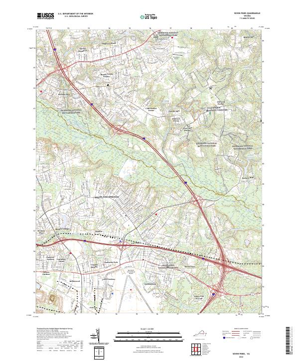
Richmond National Battlefield Park preserves the complex terrain of the James River peninsula, where the winding water defines the local geography. Significant bends in the river such as Jones Neck and Curles Neck show the natural evolution of the waterway, including the Aiken Swamp-Dutch Gap Cutoff. This area is dense with sites of local and national significance, from the Fort Harrison National Cemetery to several old congregations like Four Mile Creek Baptist Church Cem and First Bethel Baptist Church Cem.
Find a feature on this map
129 named features on this map. Tap any name to fly to it.
Don’t see what you’re looking for? This feature index may not catch every label — zoom into the map to look around manually.
Map Details
Editions of this 2022 Dutch Gap Map
This is the sole edition of this map. No revisions or reprints were ever made.
Historical Maps of Varina Through Time
12 maps found

1934 Seven Pines
Henrico County, VA
1936 Westhampton
Henrico County, VA

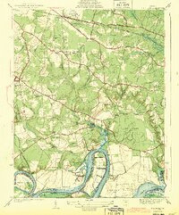
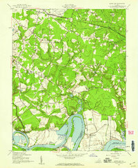
1938 Dutch Gap
Henrico County, VA
1938 Seven Pines
Henrico County, VA

1942 Westhampton
Henrico County, VA
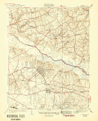
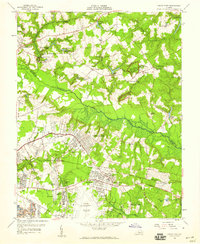
1943 Dutch Gap
Henrico County, VA
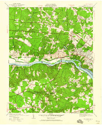
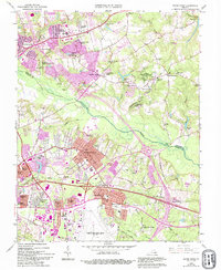
1952 Dutch Gap
Henrico County, VA
1956 Seven Pines
Henrico County, VA
1964 Seven Pines
Henrico County, VA
1969 Dutch Gap
Henrico County, VA
2022 Dutch Gap
Henrico County, VA
2022 Seven Pines
Henrico County, VA