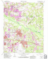
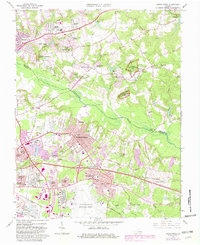
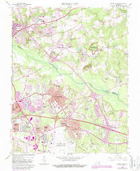
1964 Map of Seven Pines
USGS Topo · Published 1994About this map
Richmond National Battlefield Park sites dominate the landscape of eastern Henrico and Hanover counties, preserving the ground of several Civil War conflicts near the Chickahominy River. The map highlights historical landmarks like the Garthright House and Watt House, providing specific points of reference for the 1862 and 1864 campaigns. North of the river, the areas around Old Cold Harbor and New Cold Harbor show a transition from rural crossroads to residential developments like Brandy Creek Estates and Stonewall Estates.
Find a feature on this map
85 named features on this map. Tap any name to fly to it.
Don’t see what you’re looking for? This feature index may not catch every label — zoom into the map to look around manually.
Map Details
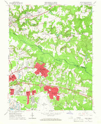
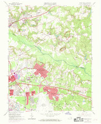
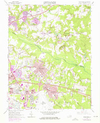
Editions of this 1964 Seven Pines Map
6 editions found
Other maps of this area

1894 · Bermuda Hundred
USGS Topo · 1:62,500

1894 · Richmond
USGS Topo · 1:62,500

1895 · Richmond
USGS Topo · 1:62,500

1918 · Charles City
USGS Topo · 1:62,500

1920 · King William
USGS Topo · 1:62,500

1934 · Seven Pines
USGS Topo · 1:24,000

1934 · Richmond
USGS Topo · 1:24,000

1938 · Dutch Gap
USGS Topo · 1:24,000

1938 · Seven Pines
USGS Topo · 1:31,680

1938 · Drewrys Bluff
USGS Topo · 1:24,000