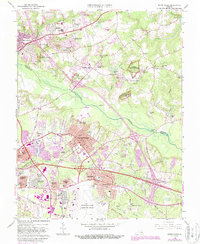
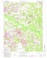
1964 Map of Seven Pines
USGS Topo · Published 1987About this map
The Richmond National Battlefield Park preserves significant portions of this landscape, marking where historical conflicts took place across the Chickahominy River and the lowlands of White Oak Swamp. In this 1960s survey, updated with later aerial photography, the transition from rural crossroads to suburban expansion is visible in the growth around Highland Springs and Sandston. Historical landmarks of local significance are scattered throughout, including the Garthright House and old industrial sites like Ellerson Mill and Barkers Mill.
Find a feature on this map
83 named features on this map. Tap any name to fly to it.
Don’t see what you’re looking for? This feature index may not catch every label — zoom into the map to look around manually.
Map Details
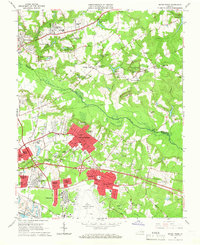
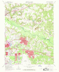
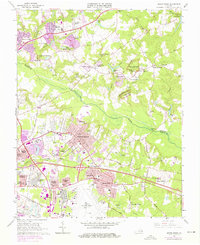
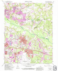
Editions of this 1964 Seven Pines Map
6 editions found
Other maps of this area

1894 · Bermuda Hundred
USGS Topo · 1:62,500

1894 · Richmond
USGS Topo · 1:62,500

1895 · Richmond
USGS Topo · 1:62,500

1918 · Charles City
USGS Topo · 1:62,500

1920 · King William
USGS Topo · 1:62,500

1934 · Seven Pines
USGS Topo · 1:24,000

1934 · Richmond
USGS Topo · 1:24,000

1938 · Dutch Gap
USGS Topo · 1:24,000

1938 · Seven Pines
USGS Topo · 1:31,680

1938 · Drewrys Bluff
USGS Topo · 1:24,000