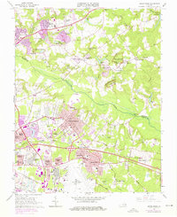
1964 Map of Seven Pines
USGS Topo · Published 1976About this map
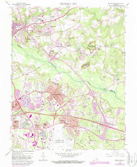
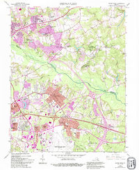
The Chickahominy River bisects this landscape, separating the developing residential corridors of Henrico Co from the more rural reaches of Hanover Co. By the mid-1960s, the expansion of Sandston and Highland Springs shows a suburban transition, marked by the grid of Highland Springs and the sprawling footprint of the Richmond Municipal Airport (Byrd Field). Despite this growth, the area remains deeply defined by its military past, with numerous sites preserved within the National Battlefield Park, including the historic Garthright House, Watt House, and Gaines Mill.
Find a feature on this map
90 named features on this map. Tap any name to fly to it.
Don’t see what you’re looking for? This feature index may not catch every label — zoom into the map to look around manually.
Map Details
Editions of this 1964 Seven Pines Map
6 editions found
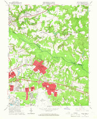
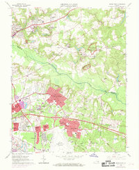
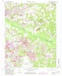
Other maps of this area

1894 · Bermuda Hundred
USGS Topo · 1:62,500

1894 · Richmond
USGS Topo · 1:62,500

1895 · Richmond
USGS Topo · 1:62,500

1918 · Charles City
USGS Topo · 1:62,500

1920 · King William
USGS Topo · 1:62,500

1934 · Seven Pines
USGS Topo · 1:24,000

1934 · Richmond
USGS Topo · 1:24,000

1938 · Dutch Gap
USGS Topo · 1:24,000

1938 · Seven Pines
USGS Topo · 1:31,680

1938 · Drewrys Bluff
USGS Topo · 1:24,000