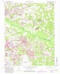
1964 Map of Seven Pines
USGS Topo · Published 1982About this map
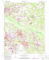
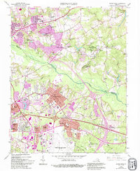
Richmond National Battlefield Park preserves the complex terrain east of the city, where mid-century growth meets carefully guarded history. This survey illustrates the evolving landscape between the Chickahominy River and White Oak Swamp, showing how suburban developments like Highland Springs and Sandston have expanded around the perimeter of the Richard Evelyn Byrd International Airport. The geography remains deeply tied to its industrial and agricultural past, with scattered sites such as Gaines Mill, Ellerson Mill, and Barkers Mill marking the streams that once powered local economies.
Find a feature on this map
97 named features on this map. Tap any name to fly to it.
Don’t see what you’re looking for? This feature index may not catch every label — zoom into the map to look around manually.
Map Details
Editions of this 1964 Seven Pines Map
6 editions found
Other maps of this area

1894 · Bermuda Hundred
USGS Topo · 1:62,500

1894 · Richmond
USGS Topo · 1:62,500

1895 · Richmond
USGS Topo · 1:62,500

1918 · Charles City
USGS Topo · 1:62,500

1920 · King William
USGS Topo · 1:62,500

1934 · Seven Pines
USGS Topo · 1:24,000

1934 · Richmond
USGS Topo · 1:24,000

1938 · Dutch Gap
USGS Topo · 1:24,000

1938 · Seven Pines
USGS Topo · 1:31,680

1938 · Drewrys Bluff
USGS Topo · 1:24,000