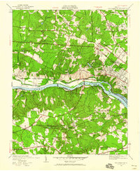
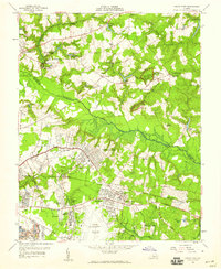
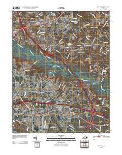
1936 Map of Westhampton
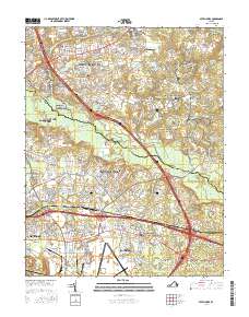
USGS Topo · Published 1960About this map
The University of Richmond serves as a central landmark in this 1930s landscape, where suburban growth begins to press against the agricultural and industrial roots of Henrico and Chesterfield counties. South of the James River, the ruins of the Bellona Arsenal and the nearby Camack Mill point to an earlier era of manufacturing and military history. The river corridor itself remains a focal point of activity, featuring Tuckahoe Island and the Kanawha Canal, while the southern bank is marked by the Granite quarrying area and the Southern railroad line.
Find a feature on this map
62 named features on this map. Tap any name to fly to it.
Don’t see what you’re looking for? This feature index may not catch every label — zoom into the map to look around manually.
Map Details
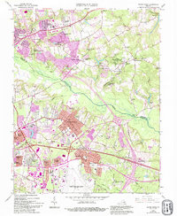
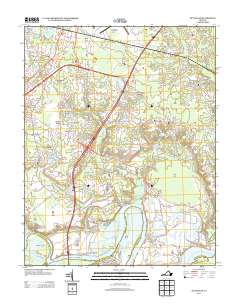
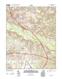
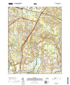
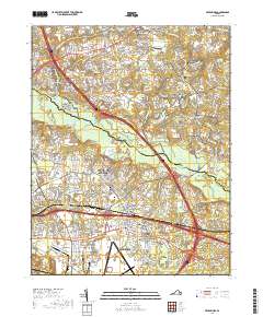
Editions of this 1936 Westhampton Map
2 editions found

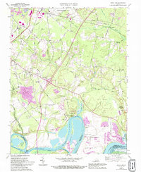
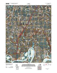
Historical Maps of Tuckahoe Through Time
20 maps found

1934 Seven Pines
Henrico County, VA
1936 Westhampton
Henrico County, VA

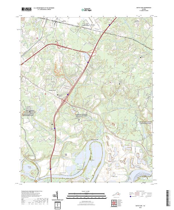
1938 Dutch Gap
Henrico County, VA
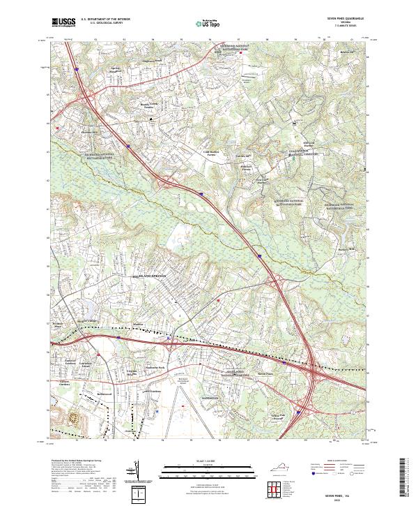
1938 Seven Pines
Henrico County, VA

1942 Westhampton
Henrico County, VA
1943 Dutch Gap
Henrico County, VA
1952 Dutch Gap
Henrico County, VA
1956 Seven Pines
Henrico County, VA
1964 Seven Pines
Henrico County, VA
1969 Dutch Gap
Henrico County, VA
2010 Dutch Gap
Henrico County, VA
2010 Seven Pines
Henrico County, VA
2013 Dutch Gap
Henrico County, VA
2013 Seven Pines
Henrico County, VA
2016 Dutch Gap
Henrico County, VA
2016 Seven Pines
Henrico County, VA
2019 Dutch Gap
Henrico County, VA
2019 Seven Pines
Henrico County, VA
2022 Dutch Gap
Henrico County, VA
2022 Seven Pines
Henrico County, VA