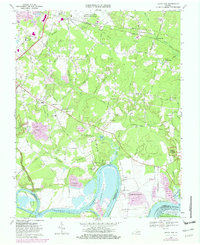
1969 Map of Dutch Gap
USGS Topo · Published 1982About this map
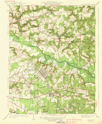
Jones Neck and Curles Neck dominate this reach of the James River, where the deep loops of the waterway define the local geography. Significant Civil War history is preserved throughout the landscape at Fort Harrison and Fort Brady, with various breastworks still visible along the ridges. The river-based economy of earlier eras is evident through various landings such as Curles Neck Mansion Wharf and Tilmans Wharf, while the interior shows a transition toward modern infrastructure near the Richard Evelyn Byrd International Airport. The presence of long-standing community centers like Varina Sch and Fourmile Creek Ch highlights the established rural settlements of Varina Grove and Poplar Springs. Extensive wetlands like White Oak Swamp and the Presqu'ile National Wildlife Refuge preserve the natural character of the James River bottomlands.
Find a feature on this map
90 named features on this map. Tap any name to fly to it.
Don’t see what you’re looking for? This feature index may not catch every label — zoom into the map to look around manually.
Map Details
Editions of this 1969 Dutch Gap Map
4 editions found
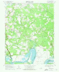
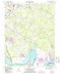
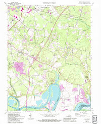
Other maps of this area

1894 · Bermuda Hundred
USGS Topo · 1:62,500

1894 · Richmond
USGS Topo · 1:62,500

1895 · Richmond
USGS Topo · 1:62,500

1918 · Charles City
USGS Topo · 1:62,500

1920 · King William
USGS Topo · 1:62,500

1934 · Seven Pines
USGS Topo · 1:24,000

1934 · Richmond
USGS Topo · 1:24,000

1938 · Dutch Gap
USGS Topo · 1:24,000
1938 · Seven Pines
USGS Topo · 1:31,680

1938 · Drewrys Bluff
USGS Topo · 1:24,000