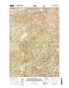
2017 Map of Dutchman Creek
USGS Topo · Published 2017About this map
The Ochoco National Forest dominates this landscape along the boundary of Jefferson and Crook Counties, where the high-elevation terrain of the Ochoco Mountains transitions between timbered slopes and open flats. The network of forest development roads, including Summit Rd and SE Dutchman Creek Rd, traces the complex drainage patterns of the region. A significant water network is documented here, characterized by numerous named perennial sources such as Curtis Spring, Ochillee Spring, and Dutchman Spring, which were vital for supporting early timber and grazing operations in these uplands. Distinctive topographic features like the volcanic-named Cat Mtn and the broad expanses of Boxcar Flats and Highland Flat illustrate the high-plateau character of Central Oregon. The map also records the headwaters of Dutchman Creek and Little McKay Cr, providing a precise record of the hydrological landscape before contemporary climate shifts influenced these seasonal flows.
Find a feature on this map
37 named features on this map. Tap any name to fly to it.
Don’t see what you’re looking for? This feature index may not catch every label — zoom into the map to look around manually.
Map Details
Editions of this 2017 Dutchman Creek Map
This is the sole edition of this map. No revisions or reprints were ever made.
Other maps of this area

1948 · Ochoco Reservoir
USGS Topo · 1:62,500

1950 · Ochoco Reservoir
USGS Topo · 1:62,500

1955 · Bend
USGS Topo · 1:250,000

1957 · Bend
USGS Topo · 1:250,000

1958 · Bend
USGS Topo · 1:250,000

1962 · Prineville
USGS Topo · 1:62,500

1968 · Horse Heaven Creek
USGS Topo · 1:24,000

1968 · Axehandle Butte
USGS Topo · 1:24,000

1968 · Dutchman Creek
USGS Topo · 1:24,000

1968 · Ashwood
USGS Topo · 1:24,000