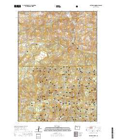
2020 Map of Dutchman Creek
USGS Topo · Published 2020About this map
The Ochoco National Forest dominates this section of the Ochoco Mountains along the boundary of Jefferson and Crook counties. This high-altitude landscape is defined by its complex network of seasonal drainages and springs, including Dutchman Cr and Little McKay Cr, which carve through the plateau. Landmarks such as Highland Flat and Boxcar Flats offer relatively level ground amidst more prominent features like Cat Mtn and McKay Saddle. For those interested in the hydrology of the High Desert, the map identifies numerous specific water sources like Schillee Spring, Curtis Spring, and Dutchman Spring. The presence of several forest roads, such as SE Trout Creek Rd and SE Martin Creek Rd, indicates the ongoing importance of this area for timber management and land access in the early twenty-first century.
Find a feature on this map
37 named features on this map. Tap any name to fly to it.
Don’t see what you’re looking for? This feature index may not catch every label — zoom into the map to look around manually.
Map Details
Editions of this 2020 Dutchman Creek Map
This is the sole edition of this map. No revisions or reprints were ever made.
Other maps of this area

1948 · Ochoco Reservoir
USGS Topo · 1:62,500

1950 · Ochoco Reservoir
USGS Topo · 1:62,500

1955 · Bend
USGS Topo · 1:250,000

1957 · Bend
USGS Topo · 1:250,000

1958 · Bend
USGS Topo · 1:250,000

1962 · Prineville
USGS Topo · 1:62,500

1968 · Horse Heaven Creek
USGS Topo · 1:24,000

1968 · Axehandle Butte
USGS Topo · 1:24,000

1968 · Dutchman Creek
USGS Topo · 1:24,000

1968 · Ashwood
USGS Topo · 1:24,000