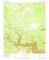
1963 Map of Dutton Hill
USGS Topo · Published 1973About this map
Coconino National Forest defines this high-country landscape south of Flagstaff as it appeared in the early 1960s. The terrain is a complex arrangement of volcanic and erosional features, from the prominence of Dutton Hill and the cinder-strewn depressions of Crater Sinks to the dramatic incision of West Fork Oak Creek. Water is the primary driver of name-giving here, with dozens of tanks and springs supporting the livestock economy, including Lockwood Spring, Buzzard Spring, and Fry Lake. The map reveals a working forest through a dense network of unimproved roads and designated areas like Barney Pasture. Notable landmarks like Harding Point and Howard Pocket provide orientation for the deep canyons and draws, such as Casner Cabin Draw and Sterling Canyon, which carved into the Mogollon Rim country before the modern era of high-intensity recreation development.
Find a feature on this map
40 named features on this map. Tap any name to fly to it.
Don’t see what you’re looking for? This feature index may not catch every label — zoom into the map to look around manually.
Map Details
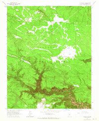
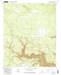
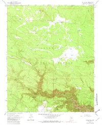
Editions of this 1963 Dutton Hill Map
4 editions found
Other maps of this area

1886 · San Francisco Mtns
USGS Topo · 1:250,000

1887 · Verde
USGS Topo · 1:250,000

1891 · San Francisco Mtns
USGS Topo · 1:250,000

1892 · Verde
USGS Topo · 1:250,000

1894 · San Francisco Mtns
USGS Topo · 1:250,000

1899 · San Francisco Mtns
USGS Topo · 1:250,000

1908 · Flagstaff
USGS Topo · 1:125,000

1912 · Flagstaff
USGS Topo · 1:125,000

1923 · Camp Verde
USGS Topo · 1:125,000

1932 · Camp Verde
USGS Topo · 1:125,000