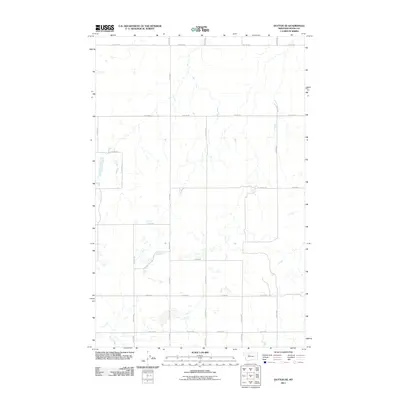
2011 Map of Dutton SE
USGS Topo · Published 2011About this map
Lake Creek winds through the southern reaches of this Teton County landscape, highlighting a region defined by its precise, rectilinear section lines and agricultural road network. The 2011 survey by the U.S. Geological Survey reveals a sparsely populated prairie environment where long-distance transportation is governed by a strict grid of gravel and local roads. Features like 18th Rd Ne and 10th Rd Ne bound the quadrangle's north and south, while north-south thoroughfares such as 19th Ln Ne and 22nd Ln Ne provide the primary means of navigating this expansive terrain. Small ephemeral water bodies and intermittent drainages dot the map, suggesting a drainage pattern that feeds toward larger basin systems beyond the margins of this specific survey.
Find a feature on this map
16 named features on this map. Tap any name to fly to it.
Don’t see what you’re looking for? This feature index may not catch every label — zoom into the map to look around manually.
Map Details
Editions of this 2011 Dutton SE Map
This is the sole edition of this map. No revisions or reprints were ever made.
Other maps of this area

1886 · Great Falls
USGS Topo · 1:250,000

1949 · Timber Coulee
USGS Topo · 1:62,500

1949 · Great Falls
USGS Topo · 1:62,500

1949 · Vaughn
USGS Topo · 1:62,500

1950 · Timber Coulee
USGS Topo · 1:62,500

1950 · Dutton
USGS Topo · 1:62,500

1951 · Great Falls
USGS Topo · 1:62,500

1952 · Vaughn
USGS Topo · 1:62,500

1954 · Great Falls
USGS Topo · 1:250,000

1957 · Great Falls
USGS Topo · 1:250,000