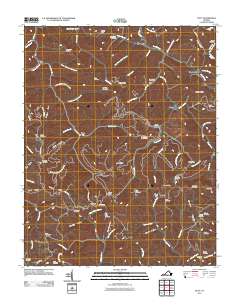
2011 Map of Duty
USGS Topo · Published 2011About this map
Sandy Ridge and Sourwood Mountain dominate this landscape in Dickenson County, where the 2011 survey reveals a complex network of ridges and hollows defined by the Russell Fork and Indian Creek. Numerous family cemeteries are scattered across the terrain, including Sutherland Cemetery, Kiser Cemetery, and Musick Cemetery, providing vital records for local genealogists. The map illustrates the region's industrial infrastructure through the Sandy Ridge Tunnel, which cuts beneath the high ground. Small communities like Davenport, Bucu, and Jahile are linked by narrow roads such as the Carrie Rdg, following the natural drainage of valleys like Yowling Hollow and Grizzle Hollow. This topographical study captures the enduring rural character of Southwest Virginia, where settlement patterns remain closely tied to the steep slopes of Counts Ridge and Wampler Ridge.
Find a feature on this map
93 named features on this map. Tap any name to fly to it.
Don’t see what you’re looking for? This feature index may not catch every label — zoom into the map to look around manually.
Map Details
Editions of this 2011 Duty Map
This is the sole edition of this map. No revisions or reprints were ever made.
Other maps of this area

1886 · Grundy
USGS Topo · 1:125,000

1890 · Grundy
USGS Topo · 1:125,000

1892 · Grundy
USGS Topo · 1:125,000

1897 · Bristol
USGS Topo · 1:125,000

1902 · Bristol
USGS Topo · 1:125,000

1913 · Clintwood
USGS Topo · 1:62,500

1914 · Bucu
USGS Topo · 1:48,000

1915 · Clintwood
USGS Topo · 1:62,500

1916 · Bucu
USGS Topo · 1:62,500

1918 · Carterton
USGS Topo · 1:62,500