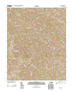
2013 Map of Duty
USGS Topo · Published 2013About this map
Russell Fork carves a central path through this corner of Dickenson County, anchoring a landscape of deep hollows and narrow ridges. The settlement of Duty sits at the confluence of Tiller Fork and the river, while other small communities like Bee, Davenport, and Bucu follow the drainage patterns of the Appalachian Plateau. The transport infrastructure reflects the difficult terrain, specifically at Sandy Ridge, where the Sandy Ridge Tunnel pierces the earth beneath Rabbit Rdg.
Find a feature on this map
100 named features on this map. Tap any name to fly to it.
Don’t see what you’re looking for? This feature index may not catch every label — zoom into the map to look around manually.
Map Details
Editions of this 2013 Duty Map
This is the sole edition of this map. No revisions or reprints were ever made.
Other maps of this area

1886 · Grundy
USGS Topo · 1:125,000

1890 · Grundy
USGS Topo · 1:125,000

1892 · Grundy
USGS Topo · 1:125,000

1897 · Bristol
USGS Topo · 1:125,000

1902 · Bristol
USGS Topo · 1:125,000

1913 · Clintwood
USGS Topo · 1:62,500

1914 · Bucu
USGS Topo · 1:48,000

1915 · Clintwood
USGS Topo · 1:62,500

1916 · Bucu
USGS Topo · 1:62,500

1918 · Carterton
USGS Topo · 1:62,500