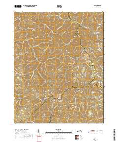
2019 Map of Duty
USGS Topo · Published 2019About this map
Tennessee Valley Divide anchors the center of this mountain landscape, marking a significant hydrologic boundary where local waters part toward distinct drainage basins. The area is defined by a dense network of ridges and gaps, with the Sandy Ridge Tunnel cutting through the heights near Carrie. The map documents a landscape of scattered rural settlements including Bucu, Davenport, and Bee, often positioned along winding creeks like Hurricane Fork and Dumps Cr.
Find a feature on this map
104 named features on this map. Tap any name to fly to it.
Don’t see what you’re looking for? This feature index may not catch every label — zoom into the map to look around manually.
Map Details
Editions of this 2019 Duty Map
This is the sole edition of this map. No revisions or reprints were ever made.
Other maps of this area

1886 · Grundy
USGS Topo · 1:125,000

1890 · Grundy
USGS Topo · 1:125,000

1892 · Grundy
USGS Topo · 1:125,000

1897 · Bristol
USGS Topo · 1:125,000

1902 · Bristol
USGS Topo · 1:125,000

1913 · Clintwood
USGS Topo · 1:62,500

1914 · Bucu
USGS Topo · 1:48,000

1915 · Clintwood
USGS Topo · 1:62,500

1916 · Bucu
USGS Topo · 1:62,500

1918 · Carterton
USGS Topo · 1:62,500