
2022 Map of Duty
USGS Topo · Published 2022About this map
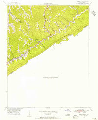
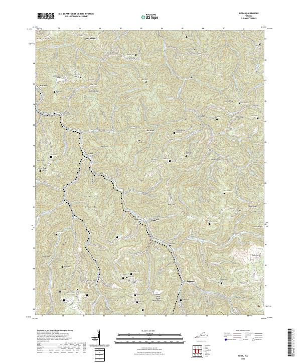
Tiny and Bee sit within the intricate terrain of the Appalachian Plateau, where the headwaters of the Roaring Fork and Lick Cr carve deep into the ridges of Dickenson County. This 2022 survey documents the persistent rural character of the region, centered on the Tennessee Valley Divide and the boundary lines between Buchanan, Russell, and Dickenson counties. The landscape is defined by its named hollows and ridges, such as Yowling Hollow and Sourwood Mtn, which have historically dictated the placement of mountain roads like State Rte 600 and State Rte 605.
Find a feature on this map
105 named features on this map. Tap any name to fly to it.
Don’t see what you’re looking for? This feature index may not catch every label — zoom into the map to look around manually.
Map Details
Editions of this 2022 Duty Map
This is the sole edition of this map. No revisions or reprints were ever made.
Historical Maps of Tiny Through Time
10 maps found
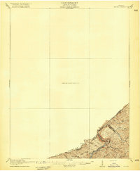
1916 Regina
Dickenson County, VA
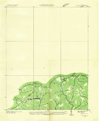
1935 Wilder
Dickenson County, VA
1954 Jenkins East
Dickenson County, VA
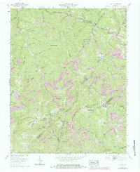
1958 Caney Ridge
Dickenson County, VA
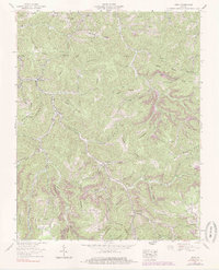
1958 Duty
Dickenson County, VA
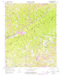
1958 Nora
Dickenson County, VA
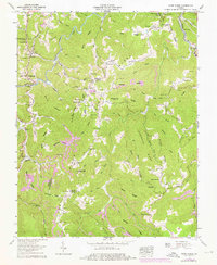
1963 Jenkins East
Dickenson County, VA
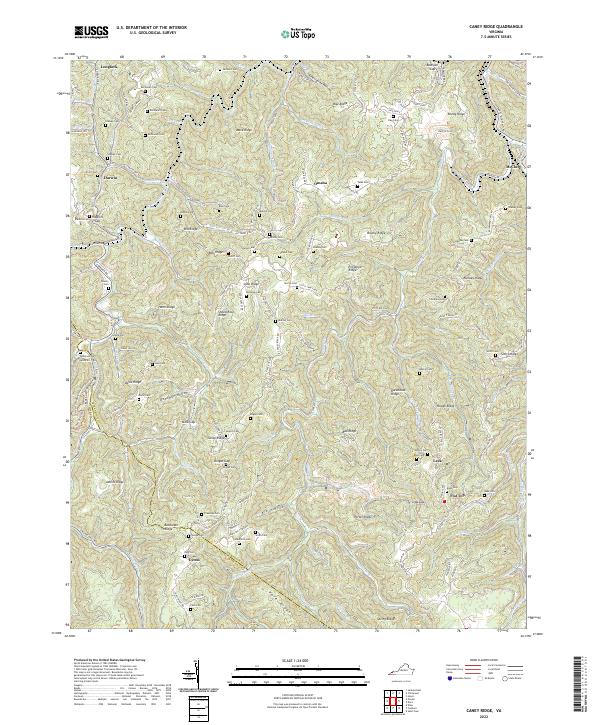
2022 Caney Ridge
Dickenson County, VA
2022 Duty
Dickenson County, VA
2022 Nora
Dickenson County, VA