Loading...
Loading map...2024 Map of Dwight
USGS Topo · Published 2024About this map
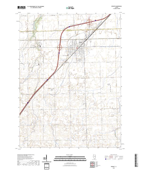
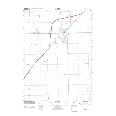
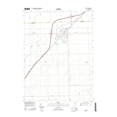
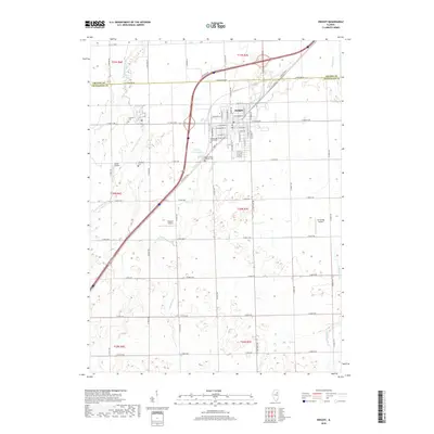
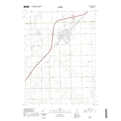
Dwight serves as the central hub of this modern Illinois prairie landscape, where the historical path of Old US Hwy 66 still parallels the modern I-55 corridor. This alignment reflects the evolution of American transport from the classic era of the Mother Road to contemporary interstate travel. The town's grid is dense with named streets like W Mazon Ave and Spencer St, bordered by legacy sites including Dwight Old Town Cem and Mount Olivet Cem.
Find a feature on this map
67 named features on this map. Tap any name to fly to it.
Don’t see what you’re looking for? This feature index may not catch every label — zoom into the map to look around manually.
Map Details
Date Portrayed2024
Date Published2024
PublisherU.S. Geological Survey
Map TypeTopographic
Scale1:24,000
Physical Dimensions24 x 29 inches
Editions of this 2024 Dwight Map
This is the sole edition of this map. No revisions or reprints were ever made.
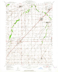
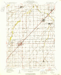
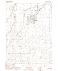
Historical Maps of Dwight Through Time
8 maps found
Featured Locations
Source Details
SourceU.S. Geological Survey
CopyrightPublic Domain