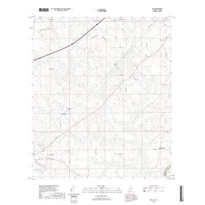
2018 Map of Dyas
USGS Topo · Published 2018About this map
Dyas sits at the heart of this landscape where the coastal plains of Alabama meet the Florida border. The area is defined by a dense network of creek systems including Dyas Cr, Bushy Cr, and McCurtin Cr that carve through the timberlands and small family holdings. Small settlements like Phillipsville, Carney, and Pinchona are connected by a web of local roads such as Hollingsworth Rd and Flowers Rd, reflecting the rural character of northern Baldwin County in the early 21st century.
Find a feature on this map
56 named features on this map. Tap any name to fly to it.
Don’t see what you’re looking for? This feature index may not catch every label — zoom into the map to look around manually.
Map Details
Editions of this 2018 Dyas Map
This is the sole edition of this map. No revisions or reprints were ever made.
Other maps of this area

1941 · Bay Minette
USGS Topo · 1:62,500

1942 · Perdido
USGS Topo · 1:62,500

1942 · Dyas
USGS Topo · 1:62,500

1943 · Bay Minette
USGS Topo · 1:62,500

1943 · Tensaw
USGS Topo · 1:62,500

1944 · Tensaw
USGS Topo · 1:62,500

1944 · Dyas
USGS Topo · 1:62,500

1944 · Perdido
USGS Topo · 1:62,500

1953 · Andalusia
USGS Topo · 1:250,000

1957 · Andalusia
USGS Topo · 1:250,000