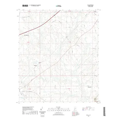
2020 Map of Dyas
USGS Topo · Published 2020About this map
Dyas and the surrounding Baldwin County landscape are defined by a network of small creeks and branches that drain into the larger coastal plains. The settlement pattern follows a mix of established rural communities like Carney, Pinchona, and Phillipsville, connected by a web of named local roads. Transportation history is evident along the Old Pensacola Road and Old Carney Road, which serve as reminders of earlier regional thoroughfares. The landscape is punctuated by local landmarks such as Lake Crosby and various family-named routes like Hoyle Bryars Road and Clara Mae Smith Road. Genealogists may find value in the location of the Perdido Baptist Church and its associated Cem, alongside the Cain Cemetery near the western edge of the survey.
Find a feature on this map
57 named features on this map. Tap any name to fly to it.
Don’t see what you’re looking for? This feature index may not catch every label — zoom into the map to look around manually.
Map Details
Editions of this 2020 Dyas Map
This is the sole edition of this map. No revisions or reprints were ever made.
Other maps of this area

1941 · Bay Minette
USGS Topo · 1:62,500

1942 · Perdido
USGS Topo · 1:62,500

1942 · Dyas
USGS Topo · 1:62,500

1943 · Bay Minette
USGS Topo · 1:62,500

1943 · Tensaw
USGS Topo · 1:62,500

1944 · Tensaw
USGS Topo · 1:62,500

1944 · Dyas
USGS Topo · 1:62,500

1944 · Perdido
USGS Topo · 1:62,500

1953 · Andalusia
USGS Topo · 1:250,000

1957 · Andalusia
USGS Topo · 1:250,000