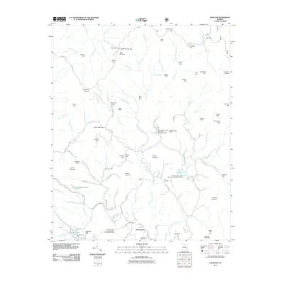
2011 Map of Dyer Gap
USGS Topo · Published 2011About this map
Mountaintown and Pleasant Hill anchor the southern portion of this landscape, where the headwaters of Mountaintown Creek are managed by modern watershed infrastructure. The terrain is defined by a dense network of gaps and ridges, including Dyer Gap and Mulberry Gap, which have long channeled travel through this part of the Blue Ridge. Genealogical interest is concentrated at the Mountaintown Cemetery, Nebo Cemetery, and Dyer Cemetery, reflecting the early settlement patterns of these high-elevation valleys.
Find a feature on this map
106 named features on this map. Tap any name to fly to it.
Don’t see what you’re looking for? This feature index may not catch every label — zoom into the map to look around manually.
Map Details
Editions of this 2011 Dyer Gap Map
This is the sole edition of this map. No revisions or reprints were ever made.
Other maps of this area

1886 · Dalton
USGS Topo · 1:125,000

1888 · Ellijay
USGS Topo · 1:125,000

1892 · Ellijay
USGS Topo · 1:125,000

1892 · Dalton
USGS Topo · 1:125,000

1897 · Dalton
USGS Topo · 1:125,000

1898 · Ellijay
USGS Topo · 1:125,000

1911 · Ellijay
USGS Topo · 1:125,000

1911 · Cohutta Mtn
USGS Topo · 1:62,500

1913 · Cohutta Mtn.
USGS Topo · 1:62,500

1914 · Talking Rock
USGS Topo · 1:62,500