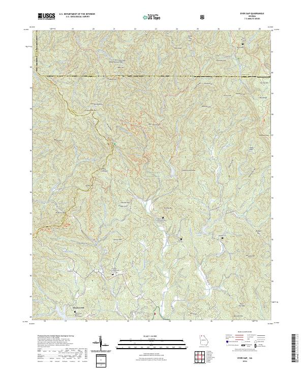
2024 Map of Dyer Gap
USGS Topo · Published 2024About this map
The Cohutta Wilderness and Chattahoochee National Forest dominate this high-relief landscape along the borders of Gilmer, Fannin, and Murray counties. The terrain is defined by a series of prominent gaps and leads, including Dyer Gap and Crenshaw Gap, which historically funneled travel through the Blue Ridge mountains. This 2024 survey captures the persistence of small mountain communities like Pleasant Hill, where local life centers on the Pleasant Hill Baptist Church and its associated cemetery.
Find a feature on this map
119 named features on this map. Tap any name to fly to it.
Don’t see what you’re looking for? This feature index may not catch every label — zoom into the map to look around manually.
Map Details
Editions of this 2024 Dyer Gap Map
This is the sole edition of this map. No revisions or reprints were ever made.
Other maps of this area

1886 · Dalton
USGS Topo · 1:125,000

1888 · Ellijay
USGS Topo · 1:125,000

1892 · Ellijay
USGS Topo · 1:125,000

1892 · Dalton
USGS Topo · 1:125,000

1897 · Dalton
USGS Topo · 1:125,000

1898 · Ellijay
USGS Topo · 1:125,000

1911 · Ellijay
USGS Topo · 1:125,000

1911 · Cohutta Mtn
USGS Topo · 1:62,500

1913 · Cohutta Mtn.
USGS Topo · 1:62,500

1914 · Talking Rock
USGS Topo · 1:62,500