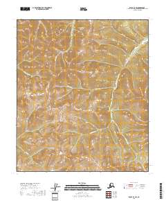
2018 Map of Eagle B-3 SW
USGS Topo · Published 2018About this map
Deep in the Southeast Fairbanks Census Area of Alaska, this 2018 survey reveals a drainage system defined by a series of named gulches and creeks. The terrain is marked by significant topographical relief, where Anthony Gulch, French Gulch, and Sarah Gulch drop into larger watercourses. These smaller drainages feed into principal streams like Montana Cr and Confederate Cr, which gather the runoff from the high ridges of the eastern interior.
Find a feature on this map
19 named features on this map. Tap any name to fly to it.
Don’t see what you’re looking for? This feature index may not catch every label — zoom into the map to look around manually.
Map Details
Editions of this 2018 Eagle B-3 SW Map
This is the sole edition of this map. No revisions or reprints were ever made.
Other maps of this area

1951 · Eagle
USGS Topo · 1:250,000

1956 · Eagle B-3
USGS Topo · 1:63,360

1956 · Eagle B-4
USGS Topo · 1:63,360

1956 · Eagle A-4
USGS Topo · 1:63,360
1957 · Eagle A-3
USGS Topo · 1:63,360

1957 · Eagle
USGS Topo · 1:250,000
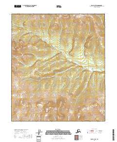
2018 · Eagle A-4 NE
USGS Topo · 1:25,000
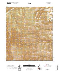
2018 · Eagle B-3 SE
USGS Topo · 1:25,000
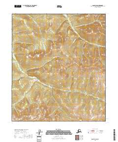
2018 · Eagle B-4 SE
USGS Topo · 1:25,000
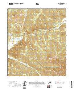
2018 · Eagle B-4 NE
USGS Topo · 1:25,000