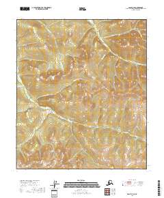
2018 Map of Eagle B-4 SE
USGS Topo · Published 2018About this map
Fish Cr and its many tributaries, including Watson Fork, carve through the high ridgelines of the Southeast Fairbanks Census Area. The drainage patterns shown in this 2018 survey illustrate a complex network of waterways that defined early travel and prospecting routes through the Alaskan interior. Named features like Sale Gulch and Pennsylvania Cr suggest the legacy of early miners who navigated these steep V-shaped valleys before modern infrastructure reached the region. The map provides a detailed view of the terrain within several townships, including t7s r26e and t6s r25e, where the elevation shifts from deep creek beds to high summits. Tracing the paths of Chicago Boy Cr and Little Manila Cr reveals how the localized geography shaped the movement of both water and people through this unpopulated wilderness at the edge of the Eagle quadrangle.
Find a feature on this map
15 named features on this map. Tap any name to fly to it.
Don’t see what you’re looking for? This feature index may not catch every label — zoom into the map to look around manually.
Map Details
Editions of this 2018 Eagle B-4 SE Map
This is the sole edition of this map. No revisions or reprints were ever made.
Other maps of this area

1951 · Eagle
USGS Topo · 1:250,000

1956 · Eagle B-3
USGS Topo · 1:63,360

1956 · Eagle B-4
USGS Topo · 1:63,360

1956 · Eagle A-4
USGS Topo · 1:63,360
1957 · Eagle A-3
USGS Topo · 1:63,360

1957 · Eagle
USGS Topo · 1:250,000
2018 · Eagle B-4 NW
USGS Topo · 1:25,000
2018 · Eagle A-4 NW
USGS Topo · 1:25,000
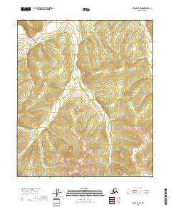
2018 · Eagle B-4 SW
USGS Topo · 1:25,000
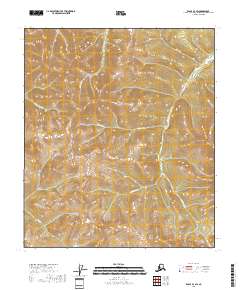
2018 · Eagle B-3 SW
USGS Topo · 1:25,000