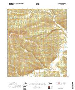
2018 Map of Eagle B-4 NW
USGS Topo · Published 2018About this map
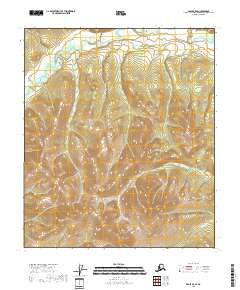
The Mertie Mountains dominate the central landscape of this Southeast Fairbanks quadrangle, defining a high-elevation terrain where various creek systems originate. In the southern portion of the sheet, the Middle Fork Fortymile River winds through the topography, joined by several named tributaries including Fish Cr, McKinley Cr, and Pennsylvania Cr. These waterways are part of the historic Fortymile mining district, an area long associated with placer gold exploration.
Find a feature on this map
11 named features on this map. Tap any name to fly to it.
Don’t see what you’re looking for? This feature index may not catch every label — zoom into the map to look around manually.
Map Details
Editions of this 2018 Eagle B-4 NW Map
This is the sole edition of this map. No revisions or reprints were ever made.
Other maps of this area

1951 · Eagle
USGS Topo · 1:250,000

1956 · Eagle B-5
USGS Topo · 1:63,360

1956 · Eagle B-4
USGS Topo · 1:63,360

1956 · Eagle C-5
USGS Topo · 1:63,360
1956 · Eagle C-4
USGS Topo · 1:63,360

1957 · Eagle
USGS Topo · 1:250,000
2018 · Eagle B-5 NE
USGS Topo · 1:25,000
2018 · Eagle B-4 SW
USGS Topo · 1:25,000
2018 · Eagle B-5 SE
USGS Topo · 1:25,000
2018 · Eagle C-5 SE
USGS Topo · 1:25,000