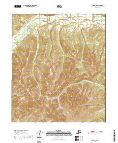
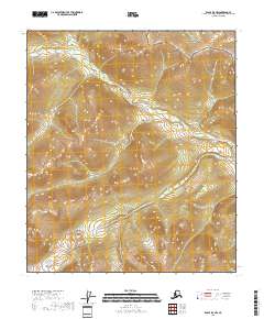
2018 Map of Eagle B-5 SE
USGS Topo · Published 2018About this map
The Middle Fork Fortymile River carves a dominant path across the northern reaches of this Alaskan landscape within the Southeast Fairbanks region. This area, deeply tied to the historical gold mining tradition of the Fortymile district, is defined by its drainage systems and sharp elevation changes. While human settlements are absent from the immediate terrain, the topography is shaped by the presence of Enterprise Cr and Gold Bottom Cr, names that echo the prospector heritage of the interior. The land is organized into township and range divisions including t7s r23e and t7s r24e, marking a wilderness surveyed but largely undeveloped, where the natural hydrography remains the primary guide through the high country.
Find a feature on this map
9 named features on this map. Tap any name to fly to it.
Don’t see what you’re looking for? This feature index may not catch every label — zoom into the map to look around manually.
Map Details
Editions of this 2018 Eagle B-5 SE Map
This is the sole edition of this map. No revisions or reprints were ever made.
Other maps of this area

1951 · Eagle
USGS Topo · 1:250,000

1956 · Eagle A-5
USGS Topo · 1:63,360

1956 · Eagle B-5
USGS Topo · 1:63,360

1956 · Eagle B-4
USGS Topo · 1:63,360

1956 · Eagle A-4
USGS Topo · 1:63,360

1957 · Eagle
USGS Topo · 1:250,000
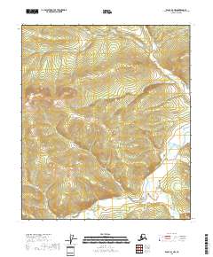
2018 · Eagle B-4 NW
USGS Topo · 1:25,000
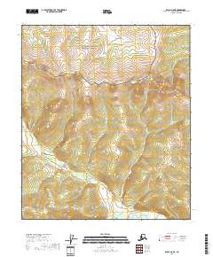
2018 · Eagle B-5 NE
USGS Topo · 1:25,000
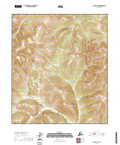
2018 · Eagle A-4 NW
USGS Topo · 1:25,000
2018 · Eagle B-5 NW
USGS Topo · 1:25,000