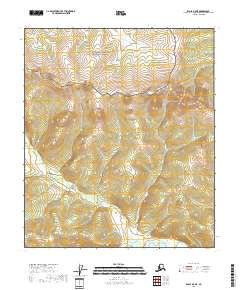
2018 Map of Eagle B-5 NE
USGS Topo · Published 2018About this map
Yukon-Charley Rivers National Preserve covers the northern half of this topographic study, protecting a landscape largely untouched by modern development. The terrain is defined by the drainage systems of the interior, most notably where Joseph Cr flows south toward the Middle Fork Fortymile River. This river, which cuts across the southern margin of the quadrangle, was historically significant during the late 19th-century gold rushes that predated the more famous Klondike discoveries. The map provides a detailed view of the high ridges and deep creek valleys that shaped the movement of prospectors and indigenous travelers long before formal boundaries like t5s r23e were established. The absence of roads or permanent structures in this 2018 survey emphasizes the enduring wilderness character of the Southeast Fairbanks Census Area.
Find a feature on this map
7 named features on this map. Tap any name to fly to it.
Don’t see what you’re looking for? This feature index may not catch every label — zoom into the map to look around manually.
Map Details
Editions of this 2018 Eagle B-5 NE Map
This is the sole edition of this map. No revisions or reprints were ever made.
Other maps of this area

1951 · Eagle
USGS Topo · 1:250,000

1956 · Eagle B-5
USGS Topo · 1:63,360

1956 · Eagle B-4
USGS Topo · 1:63,360

1956 · Eagle C-5
USGS Topo · 1:63,360
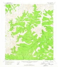
1956 · Eagle C-4
USGS Topo · 1:63,360

1957 · Eagle
USGS Topo · 1:250,000
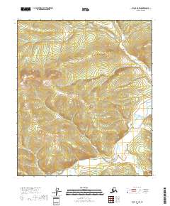
2018 · Eagle B-4 NW
USGS Topo · 1:25,000
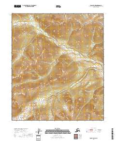
2018 · Eagle B-5 NW
USGS Topo · 1:25,000
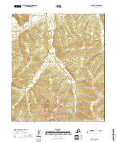
2018 · Eagle B-4 SW
USGS Topo · 1:25,000
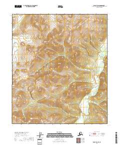
2018 · Eagle B-5 SW
USGS Topo · 1:25,000