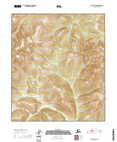
2018 Map of Eagle A-4 NW
USGS Topo · Published 2018About this map
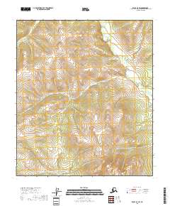
Sheba Mtn and Mt Veta anchor the high terrain of this Southeast Fairbanks interior, where a network of tributary creeks carves through the landscape. The drainage patterns of Silver Bow Cr, Little Whiteman Cr, and Telegraph Cr define the movement of water across these ridges, illustrating the natural watercourse development in this subarctic environment. The presence of Kechumstuk Cr in the southern portion of the sheet highlights a significant drainage corridor that has historically influenced travel and seasonal access in this remote corner of Alaska. Detailed topographic contours reveal the complex elevation changes between these named peaks and the valley floors, offering a clear view of the physical geography before modern developments might further alter the backcountry profile. The map also delineates the transition between various township and range blocks, such as t8s r24e and t27n r13e, which provide the essential legal framework for land management in this wilderness area.
Find a feature on this map
12 named features on this map. Tap any name to fly to it.
Don’t see what you’re looking for? This feature index may not catch every label — zoom into the map to look around manually.
Map Details
Editions of this 2018 Eagle A-4 NW Map
This is the sole edition of this map. No revisions or reprints were ever made.
Other maps of this area

1951 · Eagle
USGS Topo · 1:250,000

1956 · Eagle A-5
USGS Topo · 1:63,360

1956 · Eagle B-5
USGS Topo · 1:63,360

1956 · Eagle B-4
USGS Topo · 1:63,360

1956 · Eagle A-4
USGS Topo · 1:63,360

1957 · Eagle
USGS Topo · 1:250,000
2018 · Eagle A-5 SE
USGS Topo · 1:25,000
2018 · Eagle B-4 SW
USGS Topo · 1:25,000
2018 · Eagle B-5 SE
USGS Topo · 1:25,000
2018 · Eagle A-4 SW
USGS Topo · 1:25,000