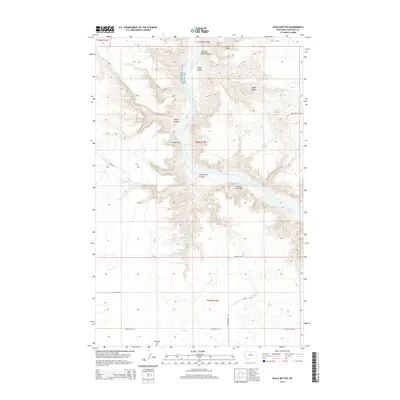
2014 Map of Eagle Buttes
USGS Topo · Published 2014About this map
The Missouri River carves a deep, winding path through this portion of Chouteau County, creating a dramatic landscape of breaks and coulees. Erosion has sculpted numerous distinctive landmarks along the water's edge, including Citadel Rock and the iconic Hole-in-the-Wall. These geologic features served as essential waypoints for travelers on the river long before modern infrastructure reached the area.
Find a feature on this map
21 named features on this map. Tap any name to fly to it.
Don’t see what you’re looking for? This feature index may not catch every label — zoom into the map to look around manually.
Map Details
Editions of this 2014 Eagle Buttes Map
This is the sole edition of this map. No revisions or reprints were ever made.
Other maps of this area

1890 · Fort Benton
USGS Topo · 1:250,000

1892 · Fort Benton
USGS Topo · 1:250,000

1897 · Fort Benton
USGS Topo · 1:250,000

1953 · Eagle Buttes
USGS Topo · 1:24,000

1953 · Last Chance Bench
USGS Topo · 1:24,000

1953 · Big Bend School
USGS Topo · 1:24,000

1953 · Pilot Rock
USGS Topo · 1:24,000

1954 · Great Falls
USGS Topo · 1:250,000

1954 · Dark Butte
USGS Topo · 1:24,000

1954 · Lewistown
USGS Topo · 1:250,000